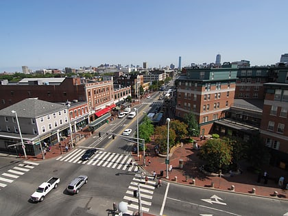
The Plough and Stars, Boston
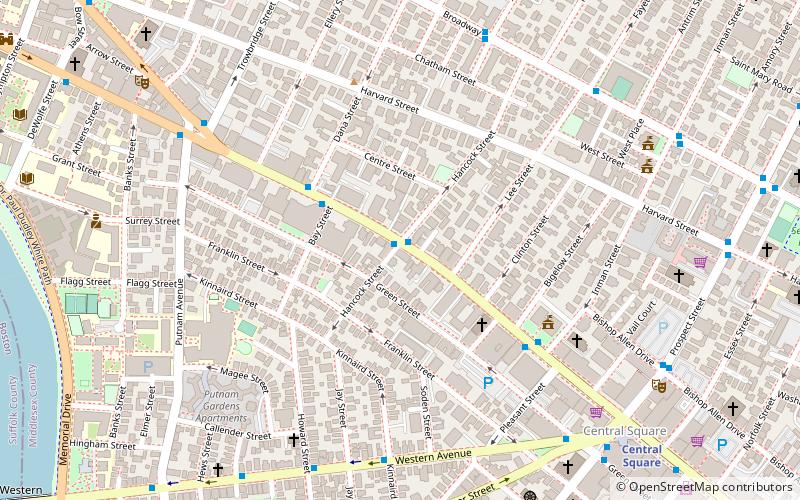
Map
Map

Facts and practical information
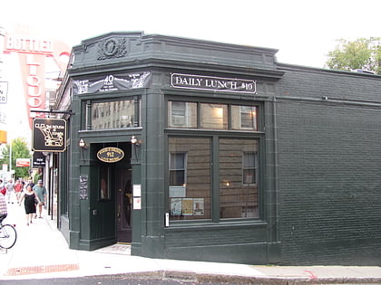
The Plough and Stars is a bar and music venue in Cambridge, Massachusetts. It was founded in 1969 by brothers Peter and Padraig O'Malley, named after the play by Seán O'Casey. The Boston Globe and Boston Phoenix have noted its disproportionate cultural influence for its size, with a number of noted musicians, writers, and politicians frequenting the bar over the years. ()
Coordinates: 42°22'6"N, 71°6'32"W
Address
912 Massachusetts AveCambridge (Riverside)Boston
Contact
+1 617-576-0032
Social media
Add
Day trips
The Plough and Stars – popular in the area (distance from the attraction)
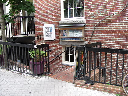
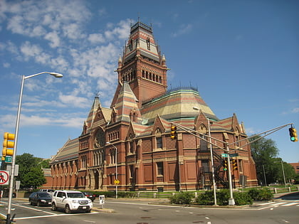
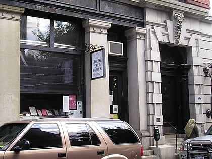
Nearby attractions include: Club Passim, Memorial Hall, Grolier Poetry Bookshop, Christ the King Presbyterian Church.
Frequently Asked Questions (FAQ)
Which popular attractions are close to The Plough and Stars?
Nearby attractions include Building at 104–106 Hancock Street, Boston (3 min walk), Ephraim Atwood House, Boston (3 min walk), Franklin St Park, Boston (3 min walk), Isaac Melvin House, Boston (3 min walk).
How to get to The Plough and Stars by public transport?
The nearest stations to The Plough and Stars:
Bus
Metro
Light rail
Bus
- Massachusetts Ave @ Hancock St • Lines: 1 (1 min walk)
- Mt Auburn St @ Putnam Ave • Lines: 1 (7 min walk)
Metro
- Central Square • Lines: Red (9 min walk)
- Harvard • Lines: Red (17 min walk)
Light rail
- Babcock Street • Lines: B (33 min walk)
- Packards Corner • Lines: B (37 min walk)
 MBTA Subway