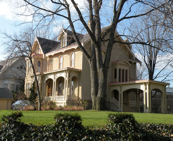
Shadyside, Pittsburgh
Map
Gallery
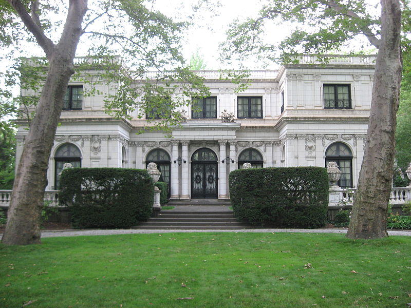
Facts and practical information
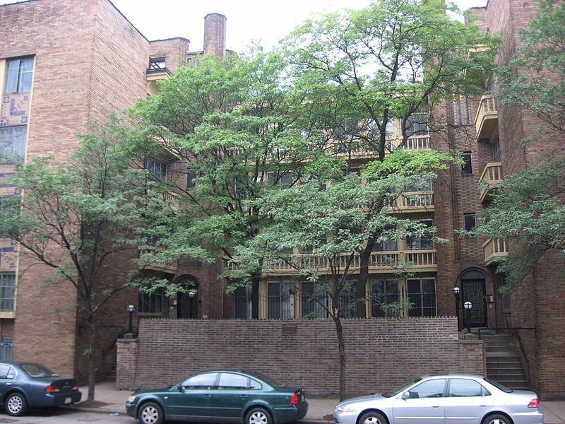
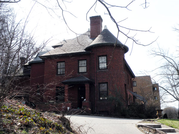
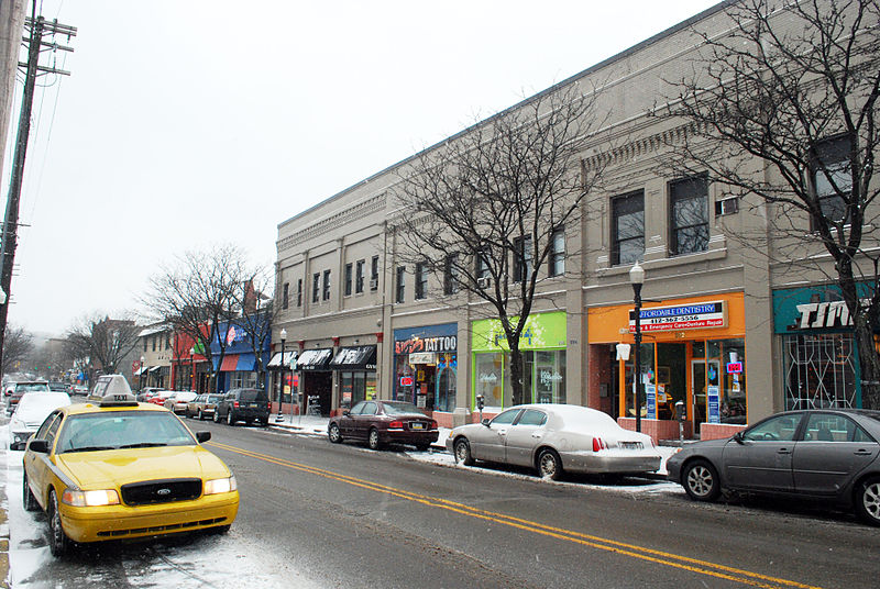
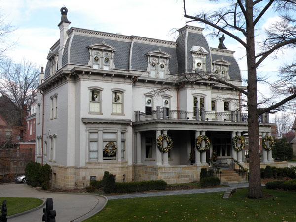
Shadyside is a neighborhood in the East End of Pittsburgh, Pennsylvania, United States. It has three zip codes and representation on Pittsburgh City Council by the council member for District 8. Shadyside is drawn from the name of a 19th-century Pennsylvania Railroad station in the area, which was named for its shady lanes. ()
Area: 0.92 mi²Coordinates: 40°27'13"N, 79°55'56"W
Day trips
Shadyside – popular in the area (distance from the attraction)
Nearby attractions include: Carnegie Museum of Art, Bob O'Connor Golf Course at Schenley Park, Carnegie Museums of Pittsburgh, Frick Fine Arts Building.
Frequently Asked Questions (FAQ)
Which popular attractions are close to Shadyside?
Nearby attractions include Ellsworth Avenue, Pittsburgh (4 min walk), Roslyn Place, Pittsburgh (5 min walk), Roslyn Place, Pittsburgh (6 min walk), Oakland, Pittsburgh (7 min walk).
How to get to Shadyside by public transport?
The nearest stations to Shadyside:
Bus
Bus
- Negley (6 min walk)
- Fifth Avenue at Negley Avenue • Lines: 71B (8 min walk)


