Sugarloaf Hill, Hudson Highlands State Park

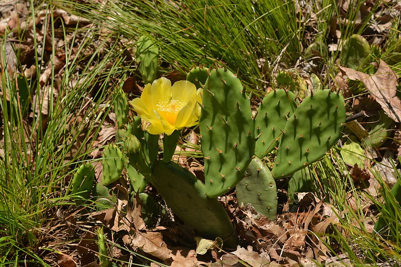
Gallery (2)
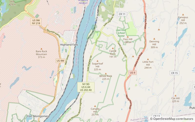
Map
Map
Gallery
Facts and practical information
Sugarloaf Hill is a 785 ft peak along the Hudson River in Putnam County, New York, part of the Hudson Highlands. It was named by the Dutch for its resemblance in outline to a sugarloaf when sailing up the river towards it. ()
Elevation: 785 ftCoordinates: 41°21'38"N, 73°56'47"W
Address
Hudson Highlands State Park
ContactAdd
Social media
Add
Day trips


