Mount Emerson, John Muir Wilderness
#27 among attractions in John Muir Wilderness
Facts and practical information
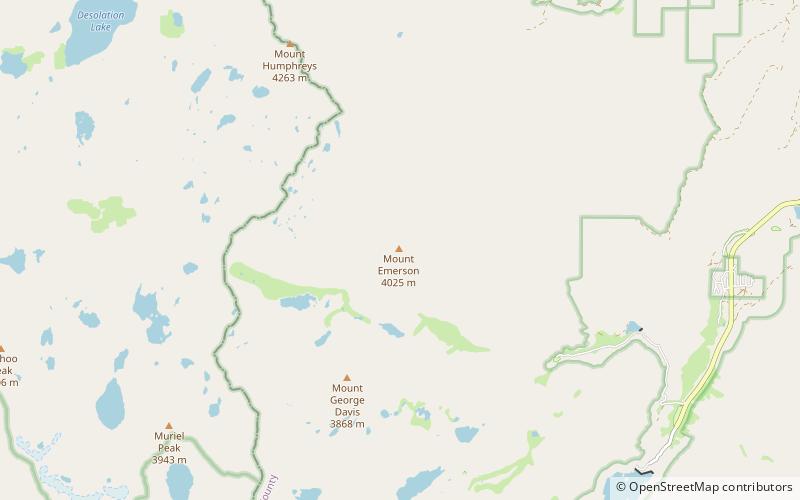
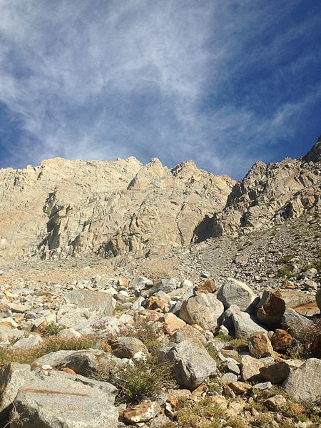
Mount Emerson is located in the Sierra Nevada in Inyo County in eastern California, United States. Mount Emerson is the 116th highest mountain in California and the 671st highest mountain in the United States. ()
John Muir Wilderness United States
Mount Emerson – popular in the area (distance from the attraction)
Nearby attractions include: The Hermit, Lake Sabrina, Loch Leven, Mount Darwin.
 Mountain
The Hermit, John Muir Wilderness
167 min walk • The Hermit is a 12,328-foot-elevation mountain summit located west of the crest of the Sierra Nevada mountain range, in Fresno County of northern California, United States. It is situated in northern Kings Canyon National Park, 2.5 miles east of Emerald Peak, and 2.5 miles west of Mount Darwin.
 Nature, Natural attraction, Lake
Lake Sabrina, Inyo National Forest
81 min walk • Lake Sabrina is a lake created by damming the middle fork of Bishop Creek. It is located south-west of Bishop, California on California State Route 168, in the Inyo National Forest. It has a cafe as well as a dock.
 Nature, Natural attraction, Lake
Loch Leven, John Muir Wilderness
20 min walk • Loch Leven is the name of several lakes in California, United States, in the Sierra Nevada.
 Nature, Natural attraction, Mountain
Mount Darwin, John Muir Wilderness
136 min walk • Mount Darwin is a flat-topped mountain in the Sierra Nevada, on the border of between Fresno and Inyo counties in Kings Canyon National Park and the John Muir Wilderness of California.
 Nature, Natural attraction, Mountain
Mount Humphreys, John Muir Wilderness
57 min walk • Mount Humphreys is a mountain peak in the Sierra Nevada on the Fresno-Inyo county line in the U.S. state of California. It is the 13th highest peak in California, and the highest peak in the Bishop area.
 Nature, Natural attraction, Mountain
Mount Mendel, Kings Canyon National Park
125 min walk • Mount Mendel is a peak in Fresno County, California. It is in Kings Canyon National Park in the Evolution Region, of the Sierra Nevada and adjacent to Mount Darwin which is on the Sierra crest.
 Nature, Natural attraction, Mountain
Basin Mountain, John Muir Wilderness
97 min walk • Basin Mountain in California's eastern Sierra Nevada range is a large and visually prominent peak near the city of Bishop. Basin Mountain is not as tall as its neighboring peaks, Mount Tom and Mount Humphreys, but it dominates the view to the west from Bishop as it rises above the Buttermilks.
 Nature, Natural attraction, Lake
Dingleberry Lake, John Muir Wilderness
109 min walk • Dingleberry Lake is a natural lake in Inyo County, California, in the United States. The lake was so named on account of dingleberries hanging on the rear of sheep in the area. The Sabrina Lake Trail leads hikers to Dingleberry Lake. Dingleberry Lake is a popular camping site. The lake contains a population of brook trout.
 Nature, Natural attraction, Natural feature
Darwin Glacier, Kings Canyon National Park
128 min walk • Darwin Glacier is a mountain glacier located on the north side of Mount Darwin in the Sierra Nevada, California. The glacier is located in Kings Canyon National Park. The glacier inherited its name from Mount Darwin, named for Charles Robert Darwin. In 2004, a study found that since 1900, Darwin Glacier had lost half its surface area.
 Nature, Natural attraction, Natural feature
Goethe Glacier, John Muir Wilderness
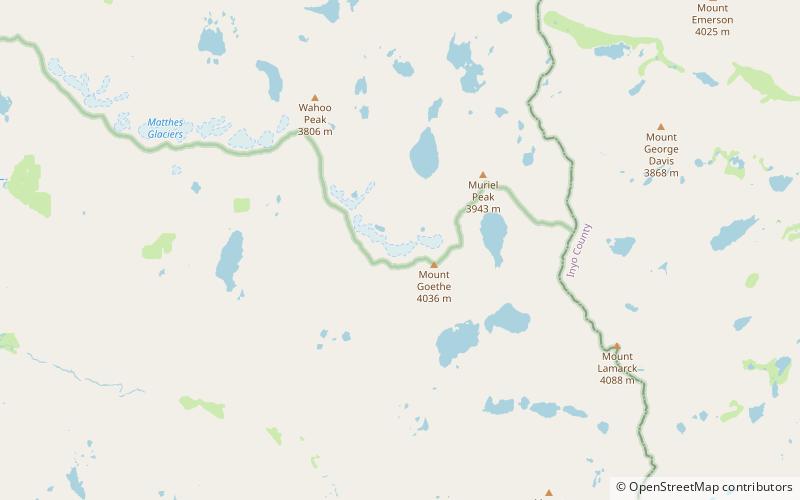
97 min walk • Goethe Glacier is a small glacier located in the Sierra Nevada Range in the John Muir Wilderness of Sierra National Forest in the U.S. state of California. The glacier is northwest of Mount Goethe.
 Nature, Natural attraction, Natural feature
Mendel Glacier, Kings Canyon National Park
120 min walk • Mendel Glacier is on the north side of Mount Mendel in the Sierra Nevada, California. The name is commonly used; however, the name is not recognized by the United States Geological Survey in the Geographic Names Information System.
