Lake Sabrina, Inyo National Forest
Map

Map

Facts and practical information
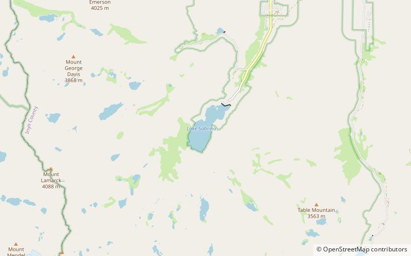
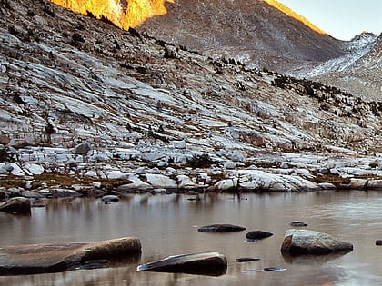
Lake Sabrina is a lake created by damming the middle fork of Bishop Creek. It is located south-west of Bishop, California on California State Route 168, in the Inyo National Forest. It has a cafe as well as a dock. The dam was built in 1907–8 to supply a constant flow of water to the hydraulic power plants. The lake is part of the Bishop Creek system. ()
Built: 1907 (119 years ago)Elevation: 9131 ft a.s.l.Coordinates: 37°12'21"N, 118°37'8"W
Address
Inyo National Forest
ContactAdd
Social media
Add
Day trips
Lake Sabrina – popular in the area (distance from the attraction)
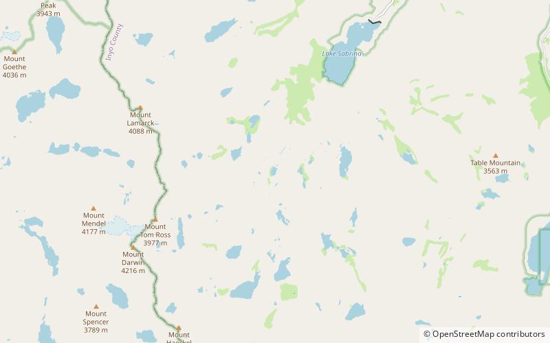
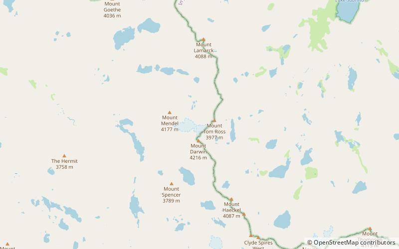
Nearby attractions include: The Hermit, Mount Fiske, Mount Warlow, Loch Leven.
Frequently Asked Questions (FAQ)
How to get to Lake Sabrina by public transport?
The nearest stations to Lake Sabrina:
Bus
Bus
- Lake Sabrina • Lines: Bishop Creek (15 min walk)


