Anderson Street Bridge, Hackensack
Map
Facts and practical information
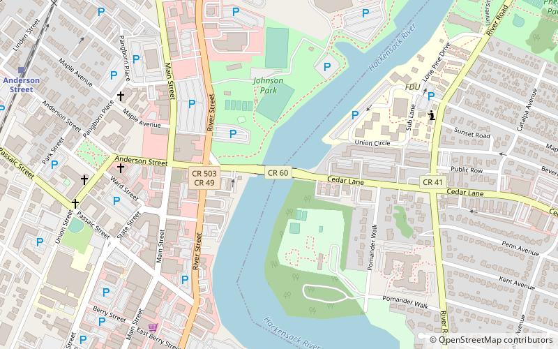
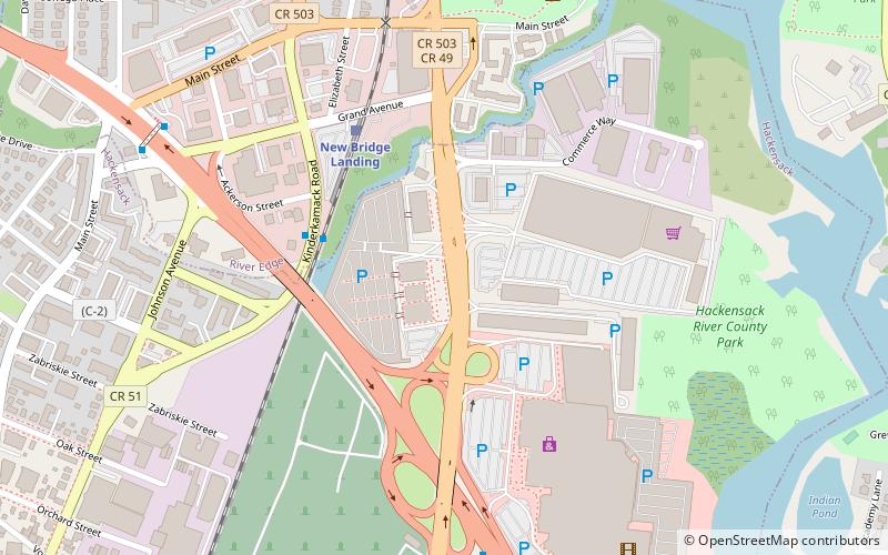
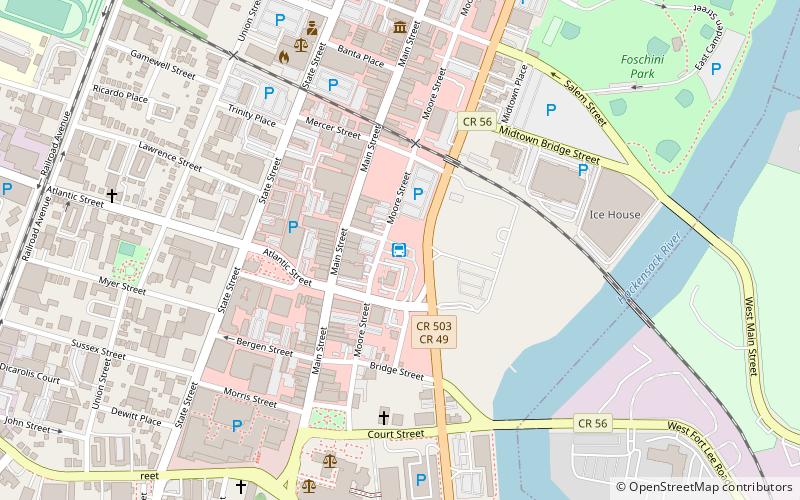
The Anderson Street Bridge, also known as the Cedar Lane Bridge, is a fixed-span road bridge over the Hackensack River in Hackensack and Teaneck in Bergen County, New Jersey, U.S. The crossing was built in 1971 to replace an earlier structure. Being structurally deficient, the bridge was given weight restrictions in 2012 and was partially closed in 2016 for interim repairs. It is one of several bridges over the river in Hackensack, including the Court Street Bridge, the Midtown Bridge, and those that carry Interstate 80 and Route 4. ()
Length: 304 ftWidth: 72 ftCoordinates: 40°53'31"N, 74°2'10"W
Address
TeaneckHackensack
ContactAdd
Social media
Add
Getting there by public transportation
Public transportation stops near this location
- Bus
- Train
 Bus
Bus
- Calculate routeAnderson Street 12 min walk
- Calculate routeEssex Street 32 min walk
- Calculate routeHackensack Bus Terminal 20 min walk
- Calculate routeQueen Anne Road at Cedar Lane 30 min walk
- Calculate routeDegraw Avenue at Queen Anne Road 36 min walk
Day trips


Frequently Asked Questions (FAQ)
Which popular attractions are close to Anderson Street Bridge?
Nearby attractions include Second Reformed Church, Hackensack (7 min walk), First Baptist Church of Hackensack, Hackensack (8 min walk), Fairleigh Dickinson University, Hackensack (14 min walk), Midtown Bridge, Hackensack (17 min walk).
How to get to Anderson Street Bridge by public transport?
The nearest stations to Anderson Street Bridge:
Train
Bus
Train
- Anderson Street (12 min walk)
- Essex Street (32 min walk)
Bus
- Hackensack Bus Terminal (20 min walk)
- Queen Anne Road at Cedar Lane • Lines: 167 (30 min walk)