Renaissance Park, Atlanta

Map
Facts and practical information
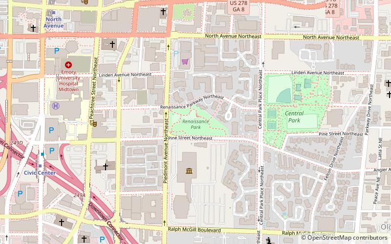
Renaissance Park is a 5.4 acres park in the Old Fourth Ward neighborhood of Atlanta, Georgia. The land was originally part of the Buttermilk Bottom slum which was razed in the 1960s. ()
Elevation: 984 ft a.s.l.Coordinates: 33°46'5"N, 84°22'51"W
Address
501 Piedmont Ave NENortheast Atlanta (Old Fourth Ward)Atlanta
ContactAdd
Social media
Add
Day trips
Renaissance Park – popular in the area (distance from the attraction)
Nearby attractions include: Centennial Olympic Park, Center for Civil and Human Rights, Bobby Dodd Stadium, Fox Theatre.
Frequently Asked Questions (FAQ)
Which popular attractions are close to Renaissance Park?
Nearby attractions include SciTrek, Atlanta (4 min walk), Atlanta Civic Center, Atlanta (6 min walk), Central Park, Atlanta (7 min walk), Rufus M. Rose House, Atlanta (7 min walk).
How to get to Renaissance Park by public transport?
The nearest stations to Renaissance Park:
Metro
Bus
Tram
Metro
- Civic Center • Lines: Gold, Red (11 min walk)
- North Avenue • Lines: Gold, Red (13 min walk)
Bus
- Village Smoke • Lines: Blue Route (17 min walk)
Tram
- Carnegie at Spring • Lines: Atlanta Streetcar (21 min walk)
- Peachtree Center • Lines: Atlanta Streetcar (21 min walk)


