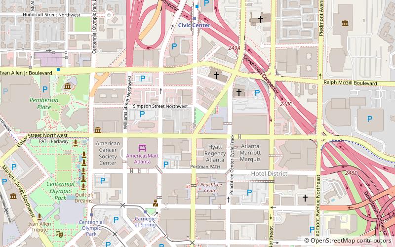
Hardy Ivy Park, Atlanta
Map

Map

Facts and practical information
Hardy Ivy Park is a pocket park in downtown Atlanta, Georgia, United States. ()
Elevation: 1043 ft a.s.l.Coordinates: 33°45'46"N, 84°23'15"W
Address
300 W Peachtree St NWDowntown Atlanta (Centennial Hill)Atlanta
ContactAdd
Social media
Add
Day trips
Hardy Ivy Park – popular in the area (distance from the attraction)
Nearby attractions include: World of Coca-Cola, Philips Arena, Centennial Olympic Park, Center for Civil and Human Rights.
Frequently Asked Questions (FAQ)
Which popular attractions are close to Hardy Ivy Park?
Nearby attractions include Carnegie Education Pavilion, Atlanta (1 min walk), SunTrust Plaza, Atlanta (2 min walk), Atlanta First United Methodist Church, Atlanta (4 min walk), Basilica of the Sacred Heart of Jesus, Atlanta (4 min walk).
How to get to Hardy Ivy Park by public transport?
The nearest stations to Hardy Ivy Park:
Tram
Metro
Bus
Tram
- Carnegie at Spring • Lines: Atlanta Streetcar (7 min walk)
- Peachtree Center • Lines: Atlanta Streetcar (9 min walk)
Metro
- Peachtree Center • Lines: Gold, Red (7 min walk)
- Civic Center • Lines: Gold, Red (7 min walk)
Bus
- Village Smoke • Lines: Blue Route (15 min walk)
- Atlanta Greyhound Bus Station (29 min walk)


