Westerville High School-Vine Street School, Westerville
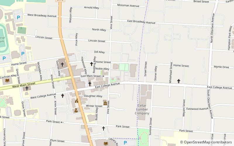
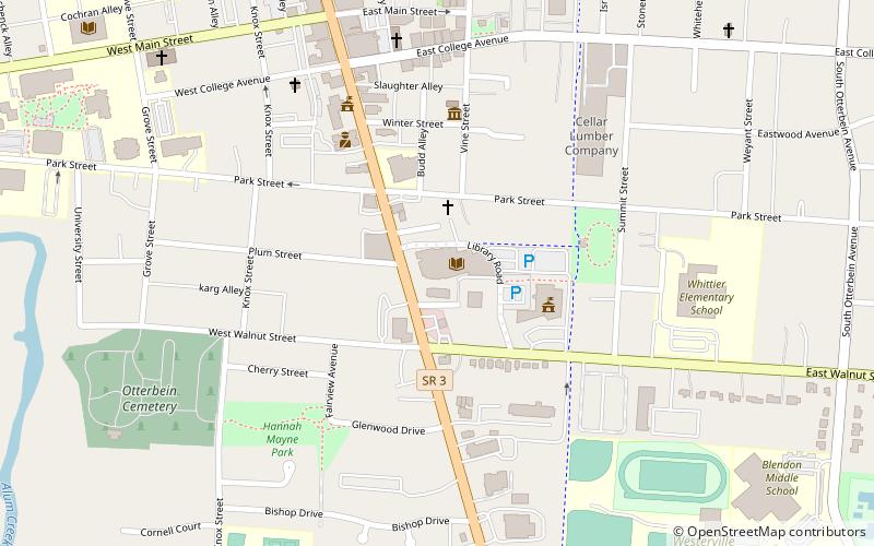
Map

Map

Facts and practical information
The Westerville High School - Vine Street School is a historic school in Westerville, Ohio. It was built in 1896 by the Columbus architecture firm of Yost and Packard. The high school is an example of Romanesque Revival architecture. ()
Built: 1896 (130 years ago)Coordinates: 40°7'37"N, 82°55'43"W
Address
WestervilleWesterville
ContactAdd
Social media
Add
Day trips
Westerville High School-Vine Street School – popular in the area (distance from the attraction)
Nearby attractions include: Westerville Golf Center, Inniswood Metro Gardens, Westerville Public Library, Weitkamp Observatory.
Frequently Asked Questions (FAQ)
Which popular attractions are close to Westerville High School-Vine Street School?
Nearby attractions include Westerville Public Library, Westerville (8 min walk), Otterbein's Courtright Memorial Library, Westerville (11 min walk), Otterbein University, Westerville (12 min walk), Inniswood Metro Gardens, Westerville (12 min walk).


