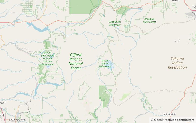
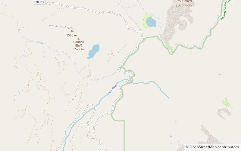
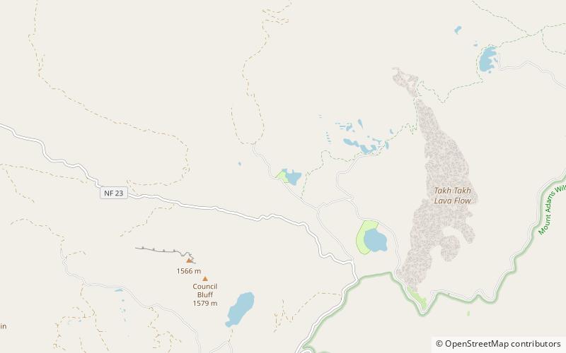
Olallie Lake, Gifford Pinchot National Forest

Gallery (1)
Map
Map
Facts and practical information
Olallie Lake is an alpine lake and one of several in the area fed by streams coming off the glaciers from nearby Mount Adams. A small, but popular Olallie Lake Campground offers scenic camping as well as non-motorized boating and fishing experiences. It is located at 4,200 feet elevation in the Gifford Pinchot National Forest, in Washington state. ()
Length: 1210 ftWidth: 925 ftElevation: 4249 ft a.s.l.Coordinates: 46°17'20"N, 121°37'8"W
Day trips