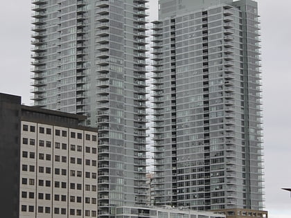
McLeod Residence, Seattle
Map
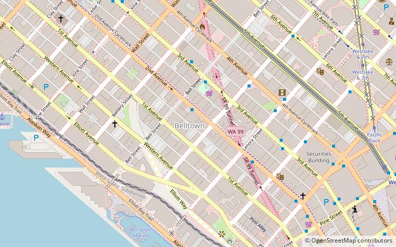
Map

Facts and practical information
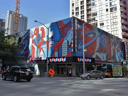
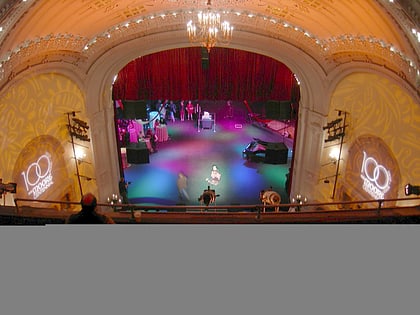
The McLeod Residence was an art cooperative and gallery based in the Belltown area of Seattle, Washington. It closed in October 2008. ()
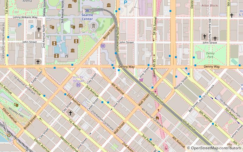
Coordinates: 47°36'48"N, 122°20'42"W
Day trips
McLeod Residence – popular in the area (distance from the attraction)
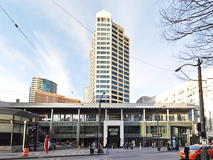
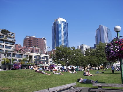
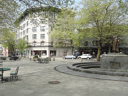
Nearby attractions include: Westlake Center, Pike Place Chowder, Victor Steinbrueck Park, Tilikum Place.
Frequently Asked Questions (FAQ)
Which popular attractions are close to McLeod Residence?
Nearby attractions include Belltown, Seattle (1 min walk), Bell Street Park, Seattle (2 min walk), Northwest Woodworkers Gallery, Seattle (3 min walk), Fourth and Blanchard Building, Seattle (4 min walk).
How to get to McLeod Residence by public transport?
The nearest stations to McLeod Residence:
Bus
Trolleybus
Tram
Train
Ferry
Light rail
Bus
- 2nd Ave & Bell St • Lines: 113, 121, 122, 123 (1 min walk)
- 3rd Ave & Bell St • Lines: 15, 16, 17, 18, 19, 2, 21, 24, 27, 28, 3, 33, 5, 55, 56, 57, 62, D, E (3 min walk)
Trolleybus
- 3rd Ave & Virginia St • Lines: 1, 13, 2, 3, 4 (5 min walk)
- 3rd Ave & Seneca St • Lines: 1, 13, 3, 4, 49 (17 min walk)
Tram
- Pacific Place • Lines: South Lake Union Streetcar (10 min walk)
- Westlake & Thomas • Lines: South Lake Union Streetcar (17 min walk)
Train
- Westlake Center (10 min walk)
- Seattle Center (16 min walk)
Ferry
- Seattle • Lines: Seattle-Bremerton, Seattle-Victoria, Seattle-Winslow (21 min walk)
- Seattle Waterfront • Lines: Seattle-Blake Island (16 min walk)
Light rail
- Westlake • Lines: 1 (11 min walk)
- University Street • Lines: 1 (15 min walk)

