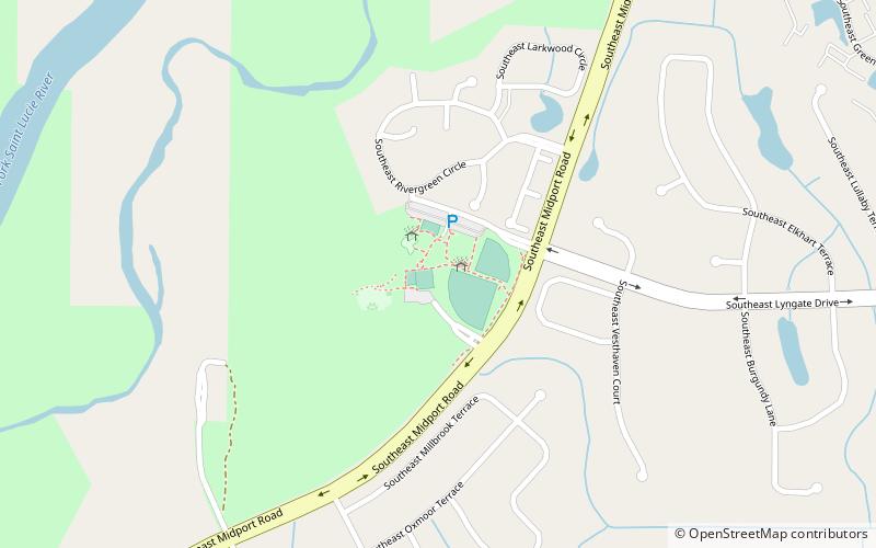
Lyngate Park, Port St. Lucie

Gallery (1)
Map
Map
Facts and practical information
Lyngate Park (address: Lyngate Ave) is a place located in Port St. Lucie (Florida state) and belongs to the category of park, relax in park.
It is situated at an altitude of 7 feet, and its geographical coordinates are 27°17'11"N latitude and 80°18'33"W longitude.
Among other places and attractions worth visiting in the area are: Port St. Lucie Botanical Gardens (park, 34 min walk), Savannas Preserve State Park (park, 63 min walk), Jessica Clinton Park (park, 90 min walk).
Elevation: 7 ft a.s.l.Coordinates: 27°17'11"N, 80°18'33"W
Day trips


