Larpenteur Avenue, Saint Paul

Facts and practical information
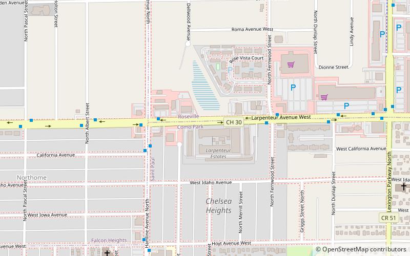
Larpenteur Avenue is a main thoroughfare in Ramsey County, Minnesota, United States. Originally named Minneapolis Avenue, it was renamed by the Saint Paul City Council in 1904 in honor of Auguste Louis Larpenteur, a fur trader and one of the original 12 citizens in the city of Saint Paul. The west end of Larpenteur Avenue is at the border with Hennepin County in Lauderdale, immediately west of Minnesota State Highway 280. Larpenteur continues east from Lauderdale through the cities of Falcon Heights, Roseville, and Saint Paul, where it is an exit off of Interstate 35E and bisected by Lake Phalen to the east. It ends at Minnesota State Highway 120 in Maplewood at the border of Washington County. ()
Como ParkSaint Paul
Larpenteur Avenue – popular in the area (distance from the attraction)
Nearby attractions include: Har Mar Mall, Como Regional Park Pool, Como Town, Marjorie McNeely Conservatory.
Frequently Asked Questions (FAQ)
Which popular attractions are close to Larpenteur Avenue?
How to get to Larpenteur Avenue by public transport?
Bus
- Hamline Avenue & California Avenue • Lines: 83 (4 min walk)
- Larpenteur Avenue & Dunlap Street • Lines: 83 (7 min walk)


