Como Lake, Saint Paul
Map

Map

Facts and practical information
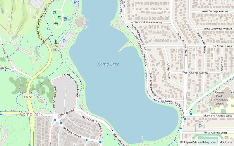
Como Lake is a 70.5-acre lake up to 15.5 feet deep in St. Paul, Minnesota, United States. It, along with the neighboring Como Park, has been a recreation area for residents of the Twin Cities for more than a century. It was named in 1848 by local farmer Charles Perry. A pavilion sits on the west side of the lake, and plays host to theatrical performances and concerts during the warmer months. The park features a variety of attractions, including the Como Park Zoo and Conservatory and the Como Regional Park Pool. ()
Area: 70.5 acres (0.1102 mi²)Maximum depth: 15 ftElevation: 883 ft a.s.l.Coordinates: 44°58'47"N, 93°8'25"W
Day trips
Como Lake – popular in the area (distance from the attraction)
Nearby attractions include: Como Regional Park Pool, Bandana Square, Como Town, Marjorie McNeely Conservatory.
Frequently Asked Questions (FAQ)
Which popular attractions are close to Como Lake?
Nearby attractions include Casiville Bullard House, Saint Paul (10 min walk), Marjorie McNeely Conservatory, Saint Paul (15 min walk), Como Town, Saint Paul (16 min walk).
How to get to Como Lake by public transport?
The nearest stations to Como Lake:
Bus
Bus
- Como Blvd E • Lines: 3A (7 min walk)
- Como Av • Lines: 3A (7 min walk)


