Turkey Mountain Urban Wilderness Area, Tulsa
Map
Map

Facts and practical information
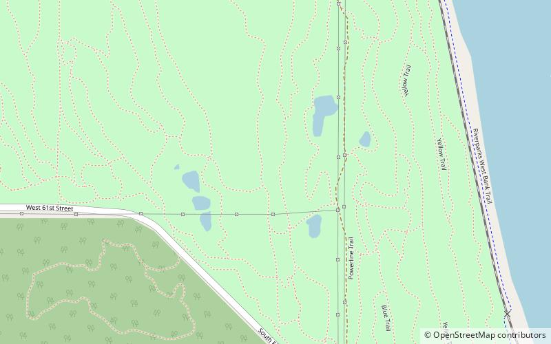
Turkey Mountain Urban Wilderness Area is a 300-acre area of undeveloped land that stretches from I-44 to 71st Street in Tulsa in the US state of Oklahoma. It is managed by the Tulsa River Parks Authority and open to the public. The main entrance to the wilderness area is at 67th Street and Elwood Avenue in West Tulsa. ()
Elevation: 804 ftCoordinates: 36°4'34"N, 95°59'45"W
Day trips
Turkey Mountain Urban Wilderness Area – popular in the area (distance from the attraction)
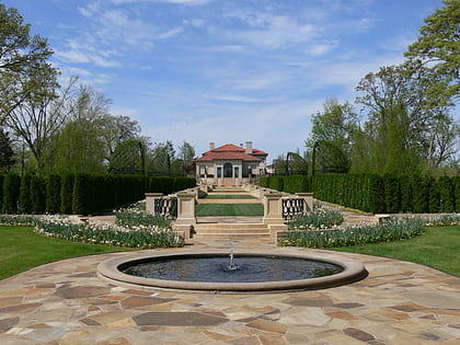
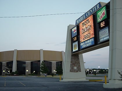
Nearby attractions include: Philbrook Museum of Art, Southern Hills Country Club, Mabee Center, Woodward Park.
Frequently Asked Questions (FAQ)
How to get to Turkey Mountain Urban Wilderness Area by public transport?
The nearest stations to Turkey Mountain Urban Wilderness Area:
Bus
Bus
- 61st Street South • Lines: 700, 805 (29 min walk)
- 56th Street South • Lines: 700, 805 (31 min walk)

