The Gathering Place, Tulsa
Facts and practical information
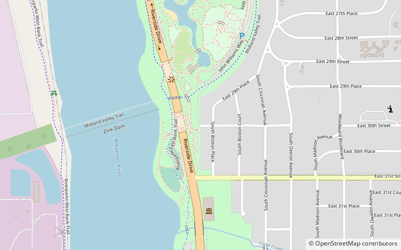
Gathering Place is a 66.5-acre park along the Arkansas River in Tulsa, Oklahoma. Created by the George Kaiser Family Foundation, Gathering Place is a natural space with richly diverse programming designed to provide inclusive and engaging experiences for all Tulsans to come together to explore, learn, and play. Designed by world-renowned landscape architect Michael Van Valkenburgh, this nearly 70-acre, one-of-a-kind hybrid park offers unique, free experiences for all ages and abilities. At $465 million, Gathering Place is the largest private gift to a community park in U.S. history. Gathering Place would not exist without the generosity of its many donors, families, and businesses committed to continual growth in Tulsa. ()
2650 S John Williams Way EMidtown (Maple Ridge Historic District)Tulsa
The Gathering Place – popular in the area (distance from the attraction)
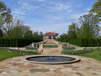
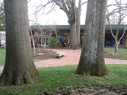
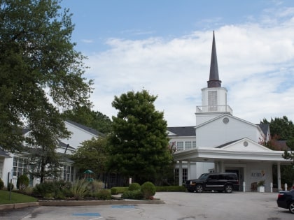
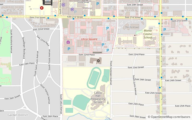
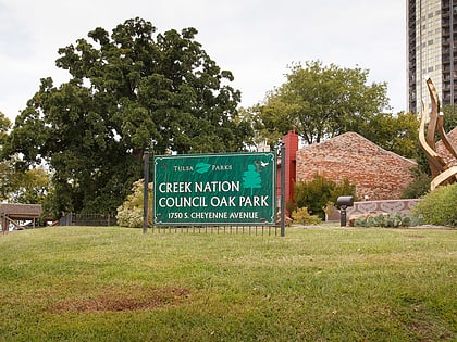
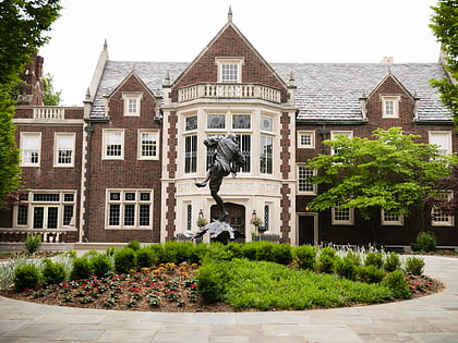
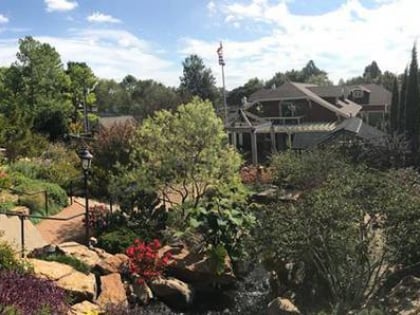
Nearby attractions include: Philbrook Museum of Art, Utica Square, Woodward Park, All Souls Unitarian Church.
Frequently Asked Questions (FAQ)
Which popular attractions are close to The Gathering Place?
How to get to The Gathering Place by public transport?
Bus
- 31st Street South • Lines: 700, 805 (13 min walk)
- Brookside • Lines: 700, 805 (21 min walk)
