British Landing, Mackinac Island
Map

Map

Facts and practical information
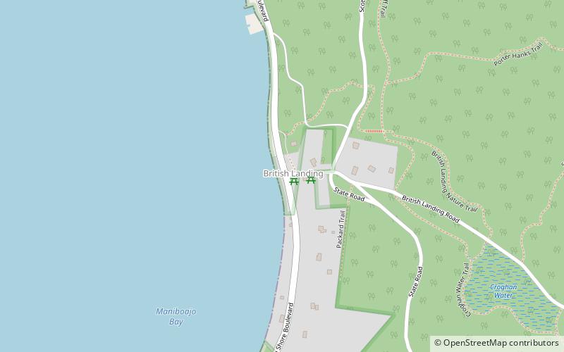
British Landing is a place within Mackinac Island, Michigan and is located on the shore of Mackinac Island, two miles northwest of the island's downtown and harbor. British Landing is the site of a War of 1812 amphibious operation on July 16–17, 1812, by a joint force of the British Army and their allies among the Native Americans and indigenous people of Canada. The operation led directly to the surrender of Fort Mackinac by the U.S. Army. ()
Coordinates: 45°52'39"N, 84°38'42"W
Address
Mackinac Island
ContactAdd
Social media
Add
Day trips
British Landing – popular in the area (distance from the attraction)
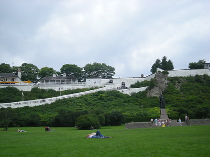
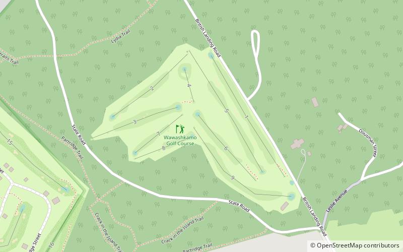
Nearby attractions include: Fort Mackinac, Skull Cave, Richard and Jane Manoogian Mackinac Art Museum, Wawashkamo Golf Club.


