Laurel Mountain, John Muir Wilderness

Gallery (1)
Map
Map
Facts and practical information
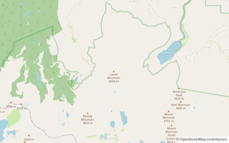
Laurel Mountain is a peak in Mono County, California. It lies in the Sherwin Range of the Sierra Nevada and is in the Inyo National Forest and the John Muir Wilderness. It reaches a height of 11,818 feet and is largely composed of metamorphic rock caused by contact with an intruding pluton in the late Cretaceous. ()
First ascent: 1926Elevation: 11818 ftProminence: 1018 ftCoordinates: 37°34'49"N, 118°53'28"W
Address
John Muir Wilderness
ContactAdd
Social media
Add
Day trips


