Fulton Street, New York City
Map
Gallery
Facts and practical information
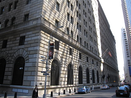
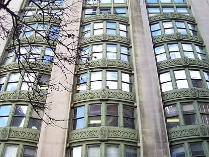
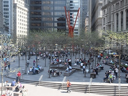
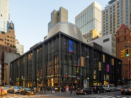
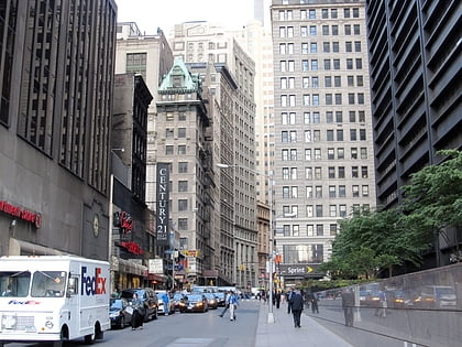
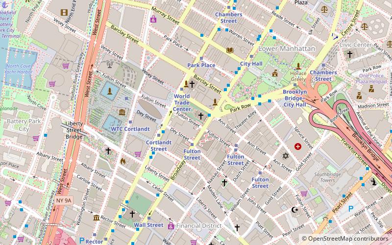
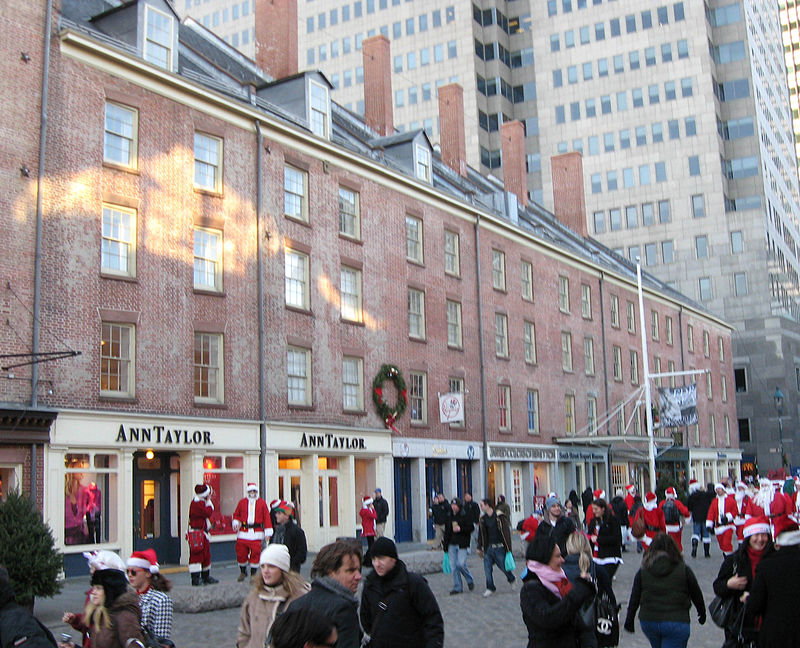
Fulton Street is a busy street located in Lower Manhattan in New York City. Located in the Financial District, a few blocks north of Wall Street, it runs from West Street at the site of the World Trade Center to South Street, terminating in front of the South Street Seaport. The westernmost two blocks are closed to general traffic. The easternmost block is a pedestrian street. ()
Address
53 Nassau StDowntown Manhattan (Financial District)New York City
Contact
+1 212-878-7000
Social media
Day trips
Fulton Street – popular in the area (distance from the attraction)
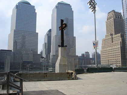
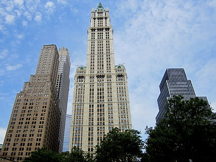
Nearby attractions include: St. Paul's Chapel, World Trade Center site / Ground Zero, World Trade Center cross, Woolworth Building.
Frequently Asked Questions (FAQ)
Which popular attractions are close to Fulton Street?
Nearby attractions include St. Paul's Chapel, New York City (1 min walk), 195 Broadway, New York City (1 min walk), 1 New York Place, New York City (2 min walk), Corbin Building, New York City (2 min walk).
How to get to Fulton Street by public transport?
The nearest stations to Fulton Street:
Bus
Metro
Ferry
Bus
- The Oculus (2 min walk)
- Broadway & Barclay Street • Lines: M55 (3 min walk)
Metro
- Fulton Street • Lines: 2, 3, 4, 5, A, C, J, Z (3 min walk)
- Cortlandt Street • Lines: N, R, W (3 min walk)
Ferry
- Brookfield Place / Battery Park City Ferry Terminal (14 min walk)
- Pier 11/Wall Street Terminal (17 min walk)

 Subway
 Manhattan Buses
