Cave Lake State Park, Humboldt-Toiyabe National Forest

Gallery (1)
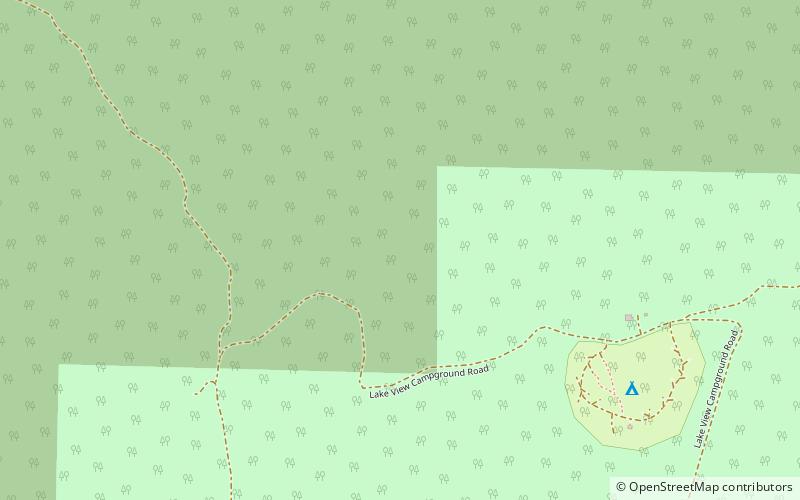
Map
Map
Facts and practical information
Cave Lake State Park is a public recreation area occupying more than 4,000 acres in the Schell Creek Range, adjacent to Humboldt National Forest, in White Pine County, Nevada. The state park is located at an elevation of 7,300 feet five miles southeast of Ely and is accessed via U.S. Route 50 and Success Summit Road. It features a 32-acre reservoir for fishing and flat-wake boating. ()