Lake Vernon, Yosemite National Park
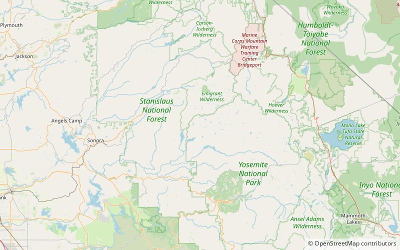
Map
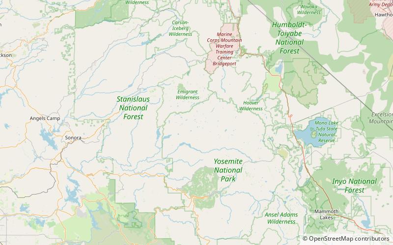
Map

Facts and practical information
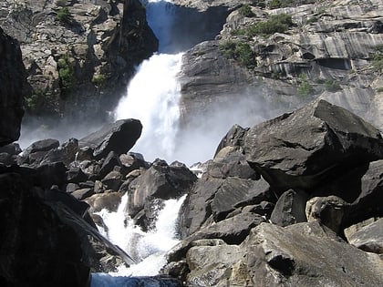
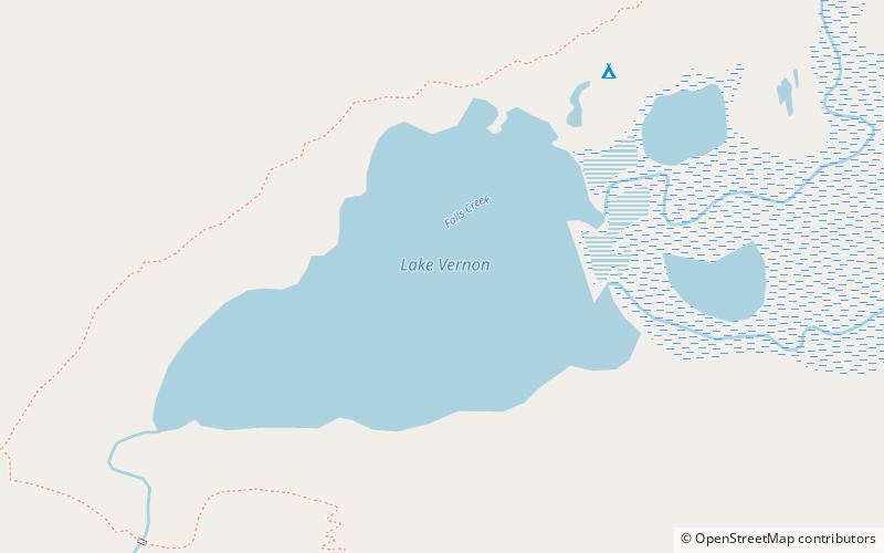
Lake Vernon is located in the Tiltill Valley in the northern sector of Yosemite National Park just north of Hetch Hetchy Valley. The surface elevation of the lake is 6,568 ft. Due to the remote location of the lake, it is usually only accessed as a backpacking destination. The area surrounding the lake was once home to a band of Sierra Miwok Indians, and numerous artifacts can be found in the area. Lake Vernon is the source of Falls Creek, which feeds Wapama Falls. ()
Elevation: 6565 ft a.s.l.Coordinates: 38°0'50"N, 119°43'26"W
Address
Yosemite National Park
ContactAdd
Social media
Add
Day trips
Lake Vernon – popular in the area (distance from the attraction)
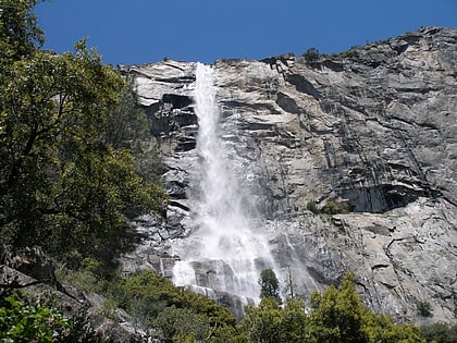
Nearby attractions include: Wapama Falls, Tueeulala Falls, O'Shaughnessy Dam, Kolana Rock.

