Wapama Falls, Yosemite National Park
Map

Map

Facts and practical information
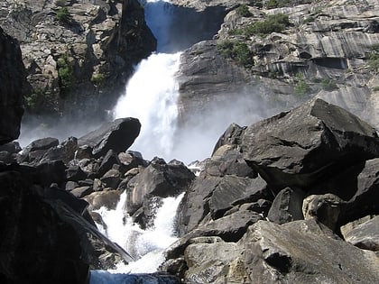
Wapama Falls is the larger of two waterfalls located on the northern wall of Hetch Hetchy Valley in Yosemite National Park. It flows almost year-round and during peak flow has been known to inundate the trail bridge crossing its base, making the falls impossible to pass. The falls consist of two primary drops angled roughly 60 degrees to each other, and a broad cascade at its base. Wapama Falls is fed by Lake Vernon, a few miles to the north, and is below Hetch Hetchy Dome. ()
Alternative names: World rank: 148Height: 1080 ftElevation: 4203 ft a.s.l.Coordinates: 37°57'51"N, 119°45'58"W
Address
O'Shaughnessy Dam to the base of Wapama FallsYosemite National Park
Contact
Social media
Add
Day trips
Wapama Falls – popular in the area (distance from the attraction)
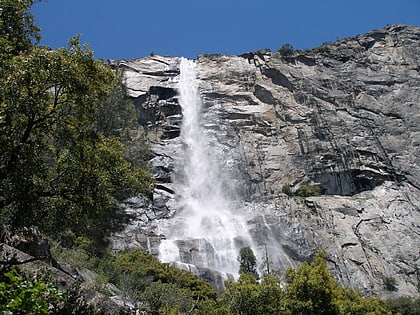
Nearby attractions include: Tueeulala Falls, O'Shaughnessy Dam, Kolana Rock, Hetch Hetchy Dome.
Frequently Asked Questions (FAQ)
Which popular attractions are close to Wapama Falls?
Nearby attractions include Tueeulala Falls, Yosemite National Park (10 min walk), Kolana Rock, Yosemite National Park (22 min walk).


