Arrow Rock State Historic Site, Arrow Rock
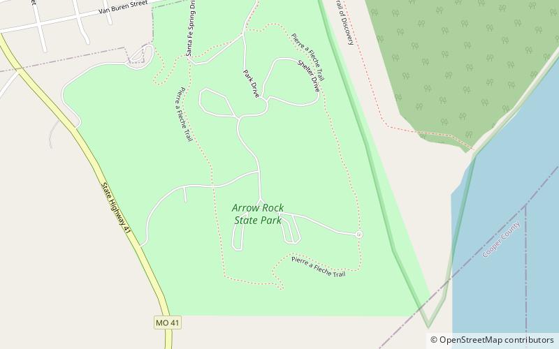
Map

Map

Facts and practical information
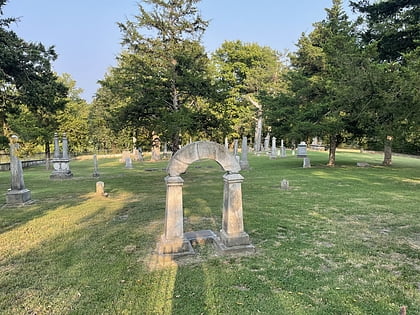
Arrow Rock State Historic Site is an open-air museum encompassing a geographic formation and a portion of the village of Arrow Rock, Missouri. The park is part of the Arrow Rock Historic District, a National Historic Landmark, and commemorates the history of the area as a key stop on the Santa Fe Trail. ()
Established: 1923 (103 years ago)Coordinates: 39°3'54"N, 92°56'32"W
Day trips
Arrow Rock State Historic Site – popular in the area (distance from the attraction)
Nearby attractions include: Sappington Cemetery State Historic Site, George Caleb Bingham House, Arrow Rock Historic District.
Frequently Asked Questions (FAQ)
Which popular attractions are close to Arrow Rock State Historic Site?
Nearby attractions include Arrow Rock Historic District, Arrow Rock (5 min walk), George Caleb Bingham House, Arrow Rock (11 min walk).


