Arrow Rock Historic District, Arrow Rock
Map

Map

Facts and practical information
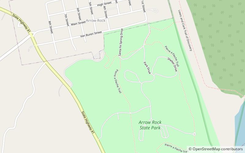
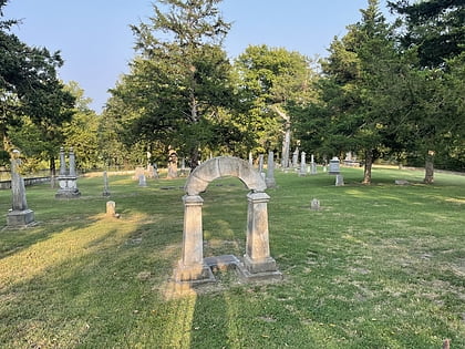
Arrow Rock Historic District is a National Historic Landmark District encompassing the village of Arrow Rock, Missouri and the adjacent Arrow Rock State Historic Site. The Arrow Rock area was where the historic Santa Fe Trail crossed the Missouri River, and was thus a key stopping point during the settlement of the American West. The 260-acre historic district was declared a National Historic Landmark in 1963. ()
Built: 1817 (209 years ago)Coordinates: 39°4'0"N, 92°56'41"W
Address
Arrow Rock
ContactAdd
Social media
Add
Day trips
Arrow Rock Historic District – popular in the area (distance from the attraction)
Nearby attractions include: Arrow Rock State Historic Site, Sappington Cemetery State Historic Site, George Caleb Bingham House.
Frequently Asked Questions (FAQ)
Which popular attractions are close to Arrow Rock Historic District?
Nearby attractions include Arrow Rock State Historic Site, Arrow Rock (5 min walk), George Caleb Bingham House, Arrow Rock (8 min walk).


