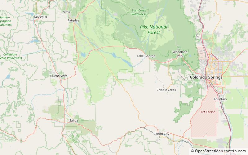
Thirtynine Mile volcanic area, Pike National Forest

Map
Facts and practical information
The Thirtynine Mile volcanic area, part of the larger Central Colorado volcanic field, is an extinct volcanic area located in Park and Teller counties, Colorado, northwest of Cripple Creek and southeast of South Park. The area was the site of significant volcanism in the Paleogene Period about 35 million years ago. Ashfall and lahars from the volcanoes created the conditions for fossilization at what is now Florissant Fossil Beds National Monument. ()
Coordinates: 38°49'56"N, 105°33'14"W
Address
Pike National Forest
ContactAdd
Social media
Add
Day trips
Thirtynine Mile volcanic area – popular in the area (distance from the attraction)
Nearby attractions include: Thirtynine Mile Mountain, Central Colorado volcanic field.
Frequently Asked Questions (FAQ)
Which popular attractions are close to Thirtynine Mile volcanic area?
Nearby attractions include Central Colorado volcanic field, Pike National Forest (1 min walk), Thirtynine Mile Mountain, Pike National Forest (2 min walk).
