William A. Curtis House, Raleigh
Map
Facts and practical information
William A. Curtis House, also known as Villa Florenza, is a historic home located at Raleigh, Wake County, North Carolina. It was built about 1915, and is a two-story, three bay wide, Late Victorian-style frame dwelling with a pyramidal roof. It has a full-height pedimented wing and one-story rear kitchen ell. It features a one-story wraparound porch. It was home to a prominent African-American family. ()
Built: 1915 (111 years ago)Coordinates: 35°46'50"N, 78°37'39"W
Address
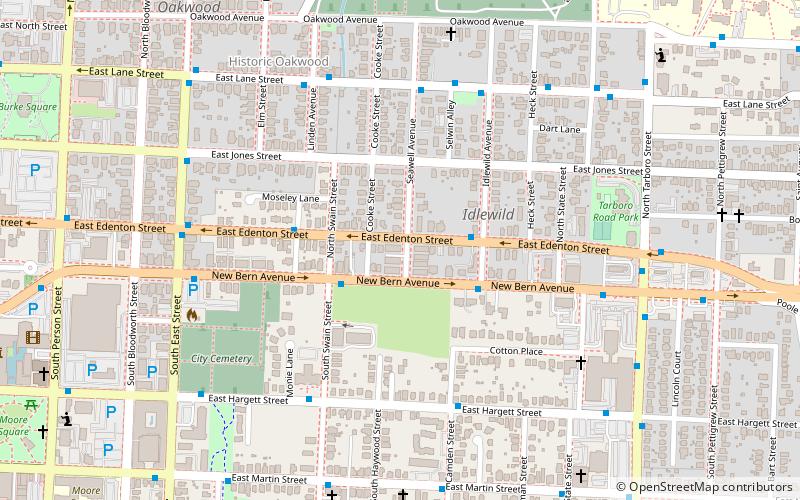
North Central (Oakwood)Raleigh
ContactAdd
Social media
Add
Getting there by public transportation
Public transportation stops near this location
- Bus
- Train
 Bus
Bus
- Calculate routeNew Bern Ave at S Swain St 3 min walk
- Calculate routeE Edenton St at Ray St 4 min walk
- Calculate routeRaleigh 30 min walk
Day trips
William A. Curtis House – popular in the area (distance from the attraction)
Nearby attractions include: North Carolina Museum of Natural Sciences, North Carolina Museum of History, North Carolina State Capitol, City Market.


Frequently Asked Questions (FAQ)
Which popular attractions are close to William A. Curtis House?
Nearby attractions include City Cemetery, Raleigh (7 min walk), All Saints Chapel, Raleigh (8 min walk), Historic Oakwood, Raleigh (9 min walk), Marshall-Harris-Richardson House, Raleigh (11 min walk).
How to get to William A. Curtis House by public transport?
The nearest stations to William A. Curtis House:
Bus
Train
Bus
- New Bern Ave at S Swain St • Lines: 15 (3 min walk)
- E Edenton St at Ray St • Lines: 15 (4 min walk)
Train
- Raleigh (30 min walk)