Eagle Lake, Lake Tahoe Basin Management Unit
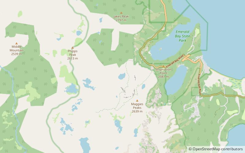
Map

Map

Facts and practical information
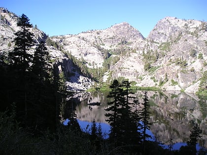
Eagle Lake is a backcountry lake in the Sierra Nevada mountain range, to the west of Lake Tahoe in the Desolation Wilderness. It can be reached by hiking west out of the Eagle Lake trailhead on HWY 89 at Emerald Bay State Park. ()
Elevation: 6991 ft a.s.l.Coordinates: 38°56'32"N, 120°7'19"W
Address
Lake Tahoe Basin Management Unit
ContactAdd
Social media
Add
Day trips
Eagle Lake – popular in the area (distance from the attraction)
Nearby attractions include: Vikingsholm, Eagle Falls trailhead, Maggies Peaks, Fannette Island.
Frequently Asked Questions (FAQ)
Which popular attractions are close to Eagle Lake?
Nearby attractions include Eagle Falls trailhead, South Lake Tahoe (22 min walk), Maggies Peaks, South Lake Tahoe (22 min walk).


