Maggies Peaks, South Lake Tahoe
Map

Map

Facts and practical information
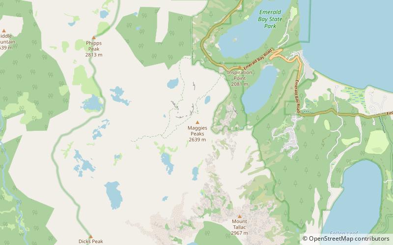
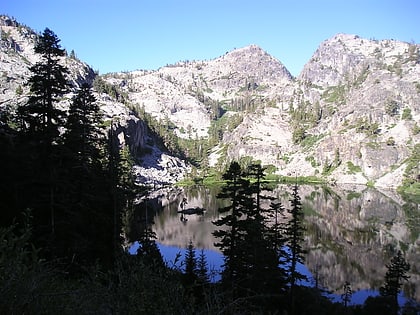
Maggies Peaks refers to a mountain in the Sierra Nevada mountain range, southwest of Lake Tahoe. There are two peaks on the mountain about 0.7 miles apart. The northern peak has an elevation of about 8,499 feet and the southern peak has an elevation of 8,703 feet. The mountain is located in the Desolation Wilderness in El Dorado County, California. The summits overlook Lake Tahoe and affords very good views of the lake. ()
Elevation: 8703 ftProminence: 579 ftCoordinates: 38°55'53"N, 120°6'50"W
Address
South Lake Tahoe
ContactAdd
Social media
Add
Day trips
Maggies Peaks – popular in the area (distance from the attraction)
Nearby attractions include: Vikingsholm, Eagle Lake, Angora Lakes, Mount Tallac.


