Suffolk City Public Schools, Suffolk

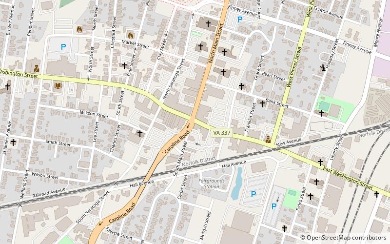
Map
Facts and practical information
Suffolk Public Schools is the branch of the government of the city of Suffolk, Virginia responsible for public K-12 education. Suffolk has multiple advanced/honors through its high schools, such as International Baccalaureate at King's Fork, Project Lead the Way Engineering at Nansemond River, and Project Lead the Way Biomedical at Lakeland. ()
Coordinates: 36°43'41"N, 76°34'59"W
Day trips
Suffolk City Public Schools – popular in the area (distance from the attraction)
Nearby attractions include: Riddick House, Suffolk Seaboard Station Railroad Museum, Cedar Hill Cemetery, Suffolk Historic District.
Frequently Asked Questions (FAQ)
Which popular attractions are close to Suffolk City Public Schools?
Nearby attractions include Professional Building, Suffolk (1 min walk), Suffolk Historic District, Suffolk (5 min walk), Phoenix Bank of Nansemond, Suffolk (7 min walk), Suffolk Seaboard Station Railroad Museum, Suffolk (10 min walk).


