Martinez Subdivision, Benicia
Map
Map

Facts and practical information
The Martinez subdivision is a Union Pacific railway line which runs from Roseville, California to Oakland, California. It is informally referred to as the Cal-P line, after the original California Pacific Railroad, who constructed the line from Sacramento to Suisun and Fairfield. The line is entirely double-tracked including bridges, and features extensive sidings. ()
Coordinates: 38°2'42"N, 122°9'58"W
Address
Benicia
ContactAdd
Social media
Add
Day trips
Martinez Subdivision – popular in the area (distance from the attraction)
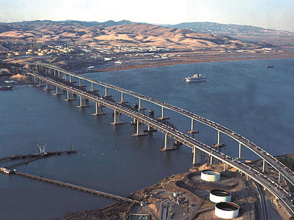
Nearby attractions include: Benicia State Recreation Area, John Muir National Historic Site, Benicia–Martinez Bridge, Benicia Capitol State Historic Park.
Frequently Asked Questions (FAQ)
Which popular attractions are close to Martinez Subdivision?
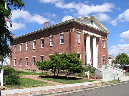
Nearby attractions include Benicia Capitol State Historic Park, Benicia (14 min walk), Old Masonic Hall, Benicia (19 min walk), City Park, Benicia (21 min walk).

