Tower Hill Park, Minneapolis
Map
Facts and practical information
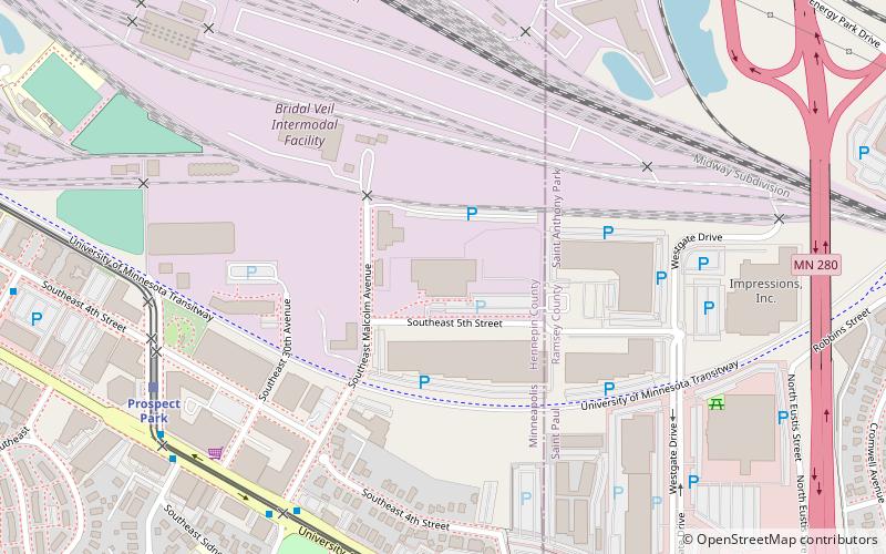
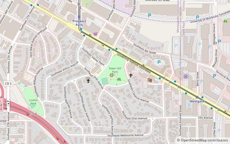
Tower Hill Park marks the northern boundary of Prospect Park, a hilly residential neighborhood in southeast Minneapolis. The 4.7-acre city park is bounded on the northeast by University Avenue, the east by Clarence Avenue, the south by Seymour Avenue, the southwest by Orlin Avenue, and the northwest by Malcolm Avenue. With the exception of University Avenue, quiet, residential streets surround Tower Hill Park. ()
Elevation: 915 ft a.s.l.Coordinates: 44°58'8"N, 93°12'45"W
Day trips
Tower Hill Park – popular in the area (distance from the attraction)
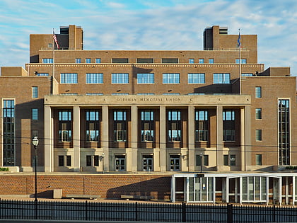
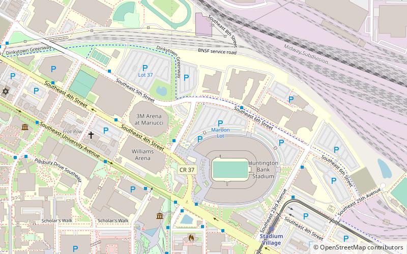
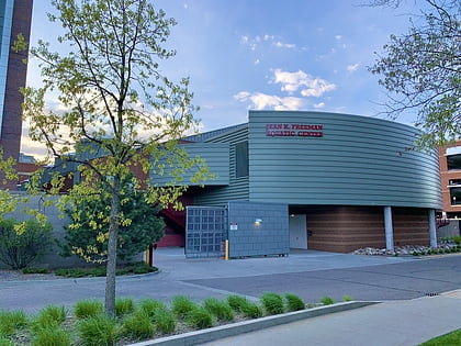
Nearby attractions include: Huntington Bank Stadium, Mariucci Arena, Weisman Art Museum, Williams Arena.
Frequently Asked Questions (FAQ)
Which popular attractions are close to Tower Hill Park?
Nearby attractions include Prospect Park Water Tower, Minneapolis (1 min walk), Prospect Park, Minneapolis (5 min walk), WaHu Student Apartments, Minneapolis (15 min walk), Hub, Minneapolis (15 min walk).
How to get to Tower Hill Park by public transport?
The nearest stations to Tower Hill Park:
Light rail
Bus
Light rail
- Prospect Park • Lines: 902 (7 min walk)
- Westgate • Lines: 902 (8 min walk)
Bus
- Seymour Av • Lines: 67, 67C (8 min walk)
- Malcolm Av • Lines: 67C (8 min walk)


