Dartmouth Bridge, Minneapolis
Map
Gallery
Facts and practical information
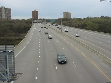
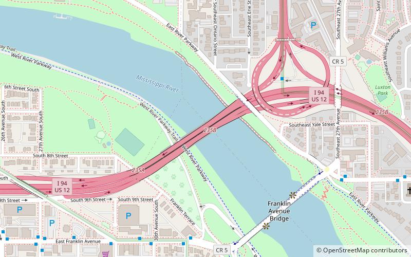
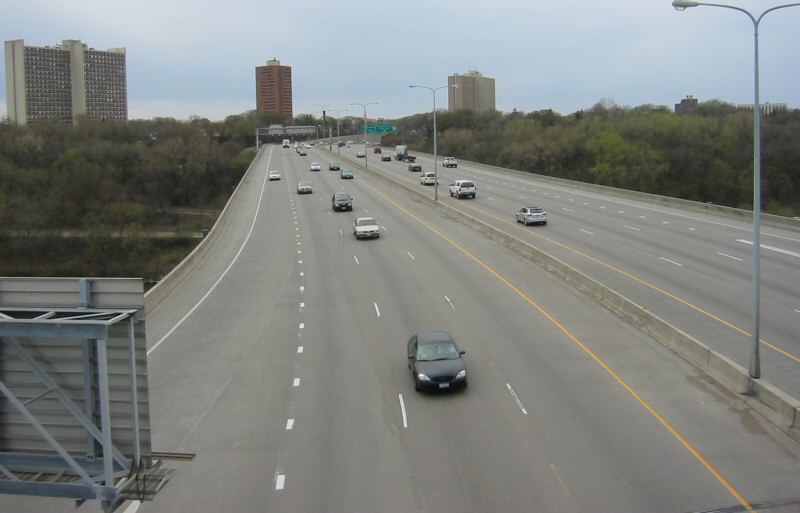
The Dartmouth Bridge is a steel girder bridge that spans the Mississippi River in Minneapolis between the Cedar-Riverside area and the University of Minnesota campus area. It carries I-94/US 12/US 52. It was built in 1964 and was designed by Parsons Brinckerhoff, Quade and Douglas. It is named for its proximity to Dartmouth Avenue SE, just north of the bridge. ()
Opened: 1964 (62 years ago)Coordinates: 44°57'58"N, 93°13'34"W
Address
Longfellow (Seward)Minneapolis
ContactAdd
Social media
Add
Day trips
Dartmouth Bridge – popular in the area (distance from the attraction)
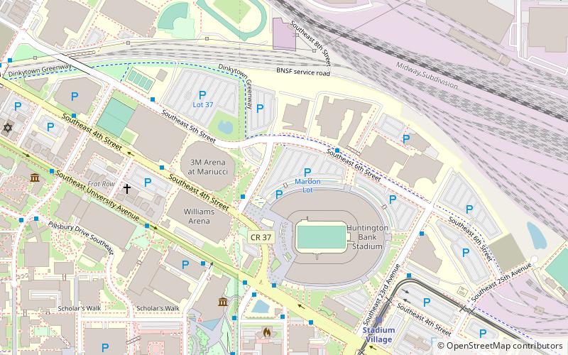
Nearby attractions include: Huntington Bank Stadium, Mariucci Arena, Weisman Art Museum, Williams Arena.
Frequently Asked Questions (FAQ)
Which popular attractions are close to Dartmouth Bridge?
Nearby attractions include Franklin Avenue Bridge, Minneapolis (6 min walk), Prospect Park, Minneapolis (13 min walk), WaHu Student Apartments, Minneapolis (14 min walk), Hub, Minneapolis (14 min walk).
How to get to Dartmouth Bridge by public transport?
The nearest stations to Dartmouth Bridge:
Bus
Light rail
Bus
- 31 Av S • Lines: 67, 67C (7 min walk)
- 30 Av S • Lines: 67 (7 min walk)
Light rail
- East Bank • Lines: 902 (15 min walk)
- Stadium Village • Lines: 902 (16 min walk)
