Forts of Vincennes, Vincennes
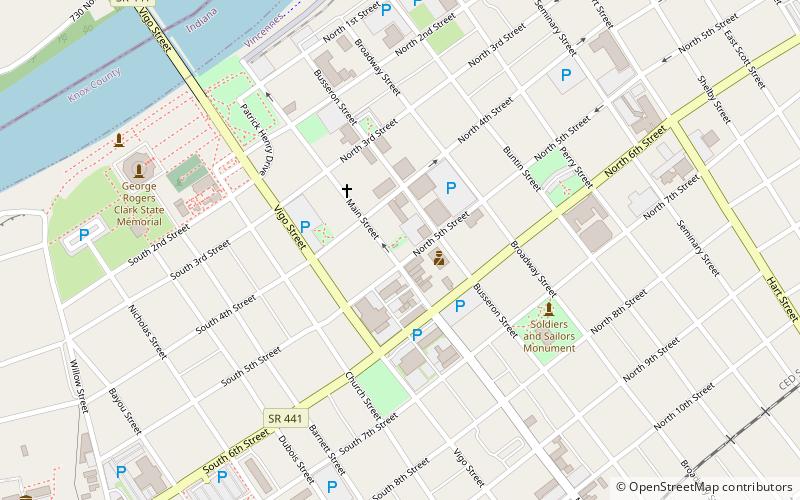
Map
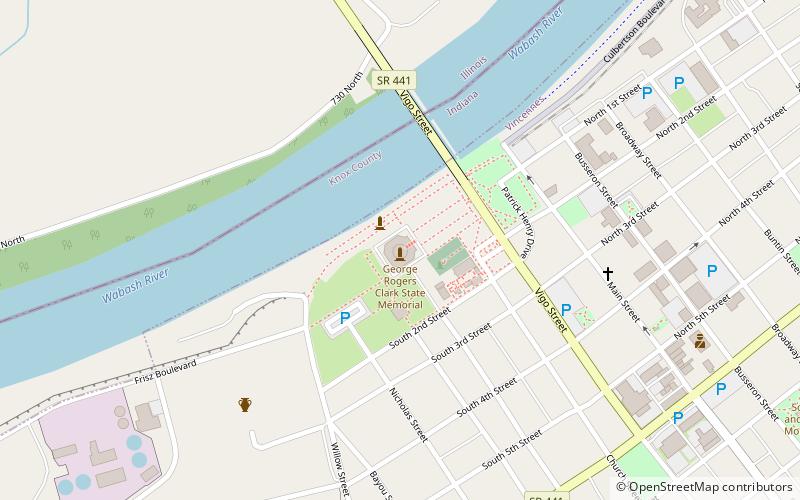
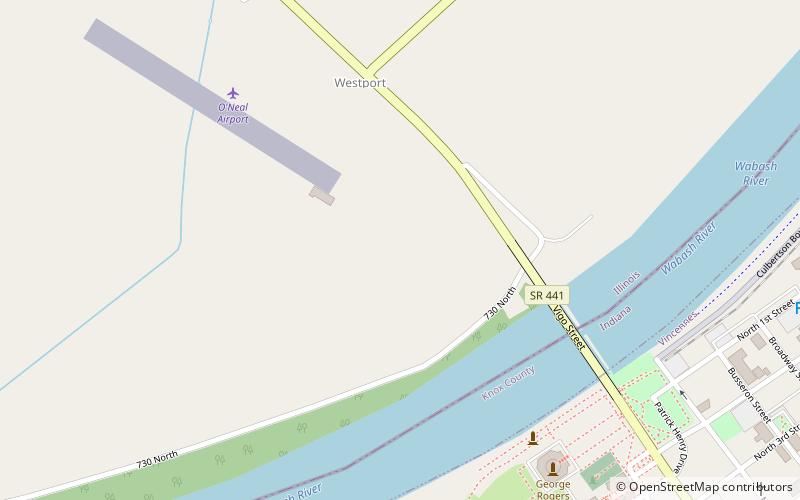
Map

Facts and practical information
During the 18th and early 19th centuries, the French, British and U.S. forces built and occupied a number of forts at Vincennes, Indiana. These outposts commanded a strategic position on the Wabash River. The names of the installations were changed by the various ruling parties, and the forts were considered strategic in the French and Indian War, the American Revolutionary War, the Northwest Indian War and the War of 1812. The last fort was abandoned in 1816. ()
Address
Vincennes
ContactAdd
Social media
Add
Day trips
Forts of Vincennes – popular in the area (distance from the attraction)
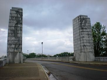
Nearby attractions include: Grouseland, St. Francis Xavier Cathedral and Library, Lincoln Memorial Bridge, George Rogers Clark National Historical Park.
Frequently Asked Questions (FAQ)
Which popular attractions are close to Forts of Vincennes?
Nearby attractions include George Rogers Clark National Historical Park, Vincennes (1 min walk), Lincoln Memorial Bridge, Vincennes (1 min walk), St. Francis Xavier Cathedral and Library, Vincennes (2 min walk), Old State Bank, Vincennes (7 min walk).


