Lincoln Trail State Memorial, Vincennes

Map
Facts and practical information
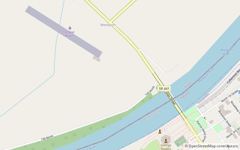
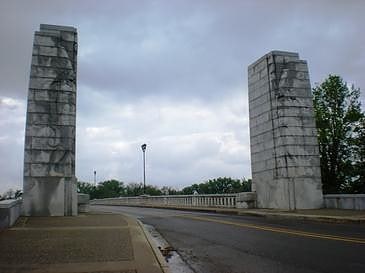
The Lincoln Trail State Memorial is a sculpture group designed in 1937 by Nellie Verne Walker and erected in 1938 to commemorate the first entrance of Abraham Lincoln, then a destitute 21-year-old frontiersman, into Illinois. It is located at the west end of the Lincoln Memorial Bridge on U.S. Route 50 Business in rural Lawrence County, approximately 11 miles east of Lawrenceville. ()
Coordinates: 38°40'58"N, 87°32'20"W
Address
Vincennes
ContactAdd
Social media
Add
Day trips
Lincoln Trail State Memorial – popular in the area (distance from the attraction)
Nearby attractions include: Grouseland, St. Francis Xavier Cathedral and Library, Lincoln Memorial Bridge, George Rogers Clark National Historical Park.
Frequently Asked Questions (FAQ)
Which popular attractions are close to Lincoln Trail State Memorial?
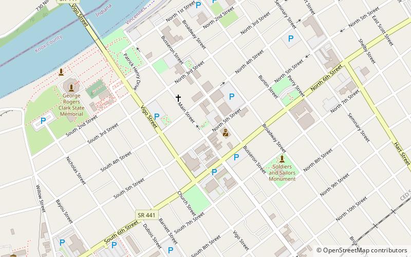
Nearby attractions include Lincoln Memorial Bridge, Vincennes (7 min walk), Forts of Vincennes, Vincennes (8 min walk), George Rogers Clark National Historical Park, Vincennes (8 min walk), St. Francis Xavier Cathedral and Library, Vincennes (10 min walk).


