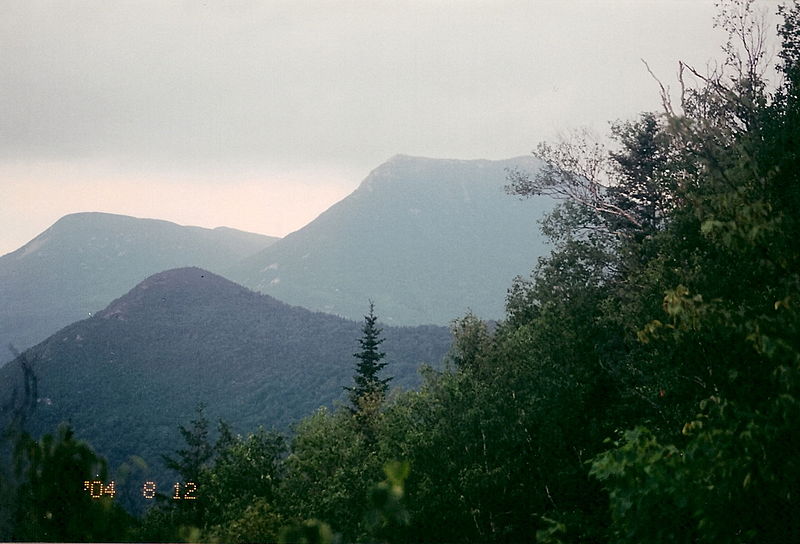
Doubletop Mountain, Baxter State Park

Gallery (2)
Map

Map
Gallery
Facts and practical information
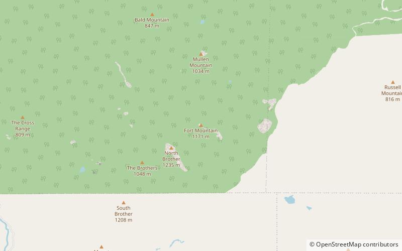
Doubletop Mountain is a mountain located in Piscataquis County, Maine, in Baxter State Park. According to Fannie Hardy Eckstorm, the mountain's Indigenous name was Psinskihegan-I-Outop. Psinskihegan means notch and I-Outop means head. in 1828 in the Survey of Maine, Moses Greenleaf called the mountain a variation Chinskihegan or Outop. It eventually became Doubletop, named for its two peaks. ()
Elevation: 3489 ftProminence: 2069 ftCoordinates: 45°56'9"N, 69°3'40"W
Address
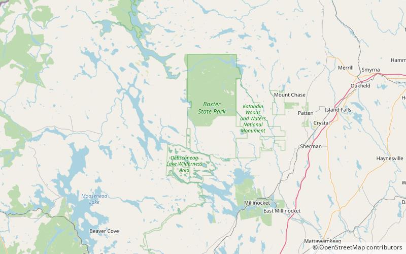
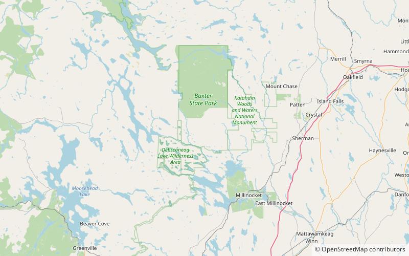
Baxter State Park
ContactAdd
Social media
Add
Day trips