Hennepin Avenue, Minneapolis
Facts and practical information
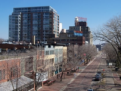
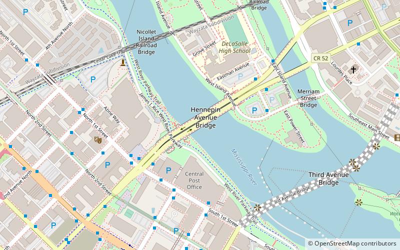
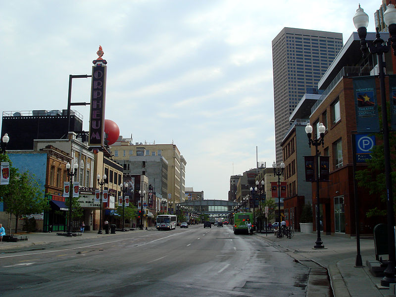
Hennepin Avenue is a major street in Minneapolis, Minnesota, United States. It runs from Lakewood Cemetery, north through the Uptown District of Southwest Minneapolis, through the Virginia Triangle, the former "Bottleneck" area west of Loring Park. It then goes through the North Loop in the city center, to Northeast Minneapolis and the city's eastern boundary, where it becomes Larpenteur Avenue as it enters Lauderdale in Ramsey County at Highway 280. Hennepin Avenue is a Minneapolis city street south/west of Washington Avenue, and is designated as Hennepin County Road 52 from Washington Avenue to the county line. ()
Central Minneapolis (Downtown West)Minneapolis
Hennepin Avenue – popular in the area (distance from the attraction)
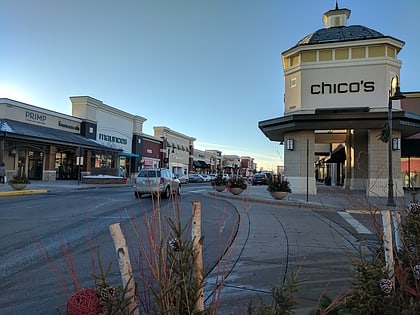
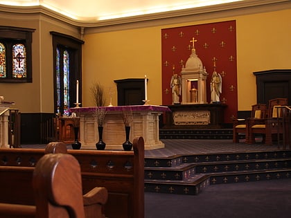
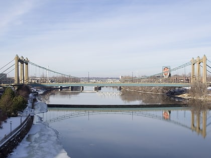
Nearby attractions include: Saint Anthony Falls, Saint Anthony Main, Woodbury Lakes, Mill Ruins Park.
Frequently Asked Questions (FAQ)
Which popular attractions are close to Hennepin Avenue?
How to get to Hennepin Avenue by public transport?
Bus
- Hennepin Avenue & 1st Street • Lines: 250C, 250M, 270, 4B, 4G (4 min walk)
- 1 St N • Lines: 4, 4A, 4L, 4P (4 min walk)
Light rail
- Nicollet Mall • Lines: 901, 902 (14 min walk)
- Warehouse District/Hennepin Avenue • Lines: 901, 902 (15 min walk)
Train
- Target Field (17 min walk)


