Temple Butte, Grand Canyon National Park
Map

Map

Facts and practical information
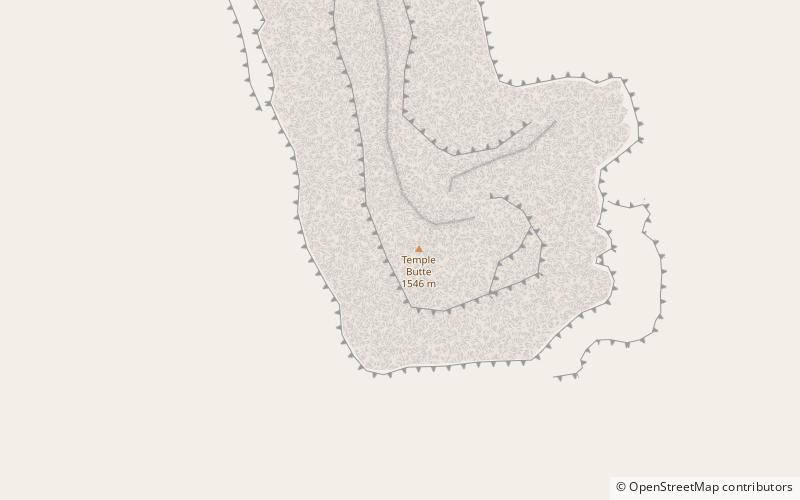
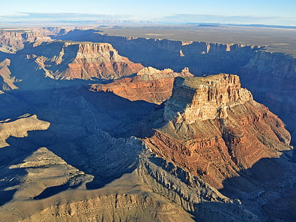
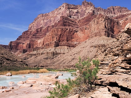
Temple Butte, in the Grand Canyon, Arizona, US is a prominence below the East Rim. The butte lies on the west bank of the south-flowing Colorado River. The outfall from the Little Colorado River, draining from the Painted Desert to the east and southeast, is about 2-mi upstream. ()
Elevation: 5308 ftCoordinates: 36°9'43"N, 111°49'30"W
Address
Grand Canyon National Park
ContactAdd
Social media
Add
Day trips
Temple Butte – popular in the area (distance from the attraction)
Nearby attractions include: Ochoa Point, Kwagunt Butte, Chuar Butte, Comanche Point.


