Awatubi Crest
Map

Map

Facts and practical information
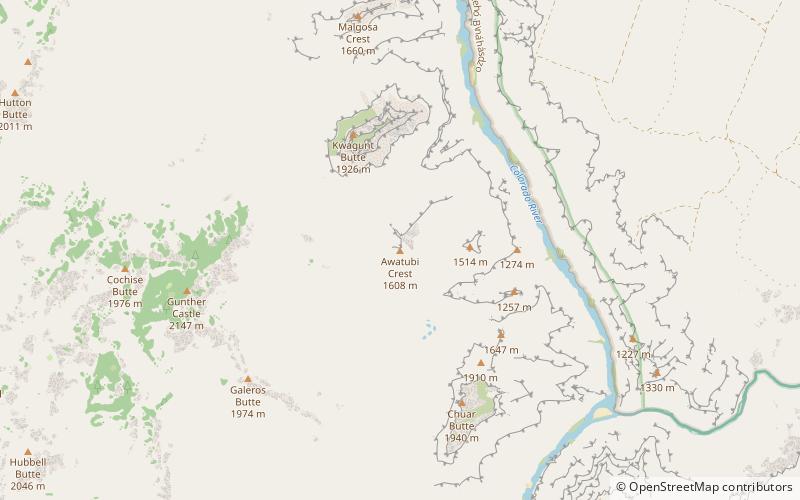
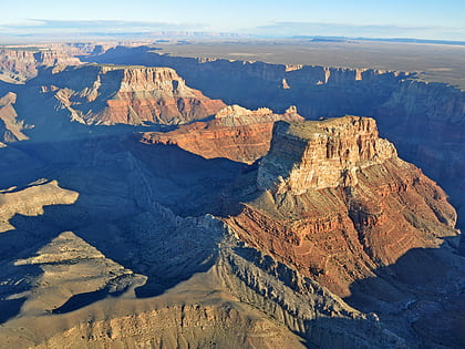
Awatubi Crest is a 5,276 foot-elevation summit located in the eastern Grand Canyon, in Coconino County of northern Arizona, US. The crest is situated as a prominence between Kwagunt Butte north, and Chuar Butte south. Unlike these two buttes composed of the many common layers of Grand Canyon sedimentary rocks, the Awatubi Crest was created by the uplift of the Butte Fault exposing Kwagunt Formation rock. ()
Coordinates: 36°12'54"N, 111°50'10"W
Location
Arizona
ContactAdd
Social media
Add
Day trips
Awatubi Crest – popular in the area (distance from the attraction)
Nearby attractions include: Kwagunt Butte, Chuar Butte, Jupiter Temple, Gunther Castle.


