Catharine Clark Gallery, San Francisco
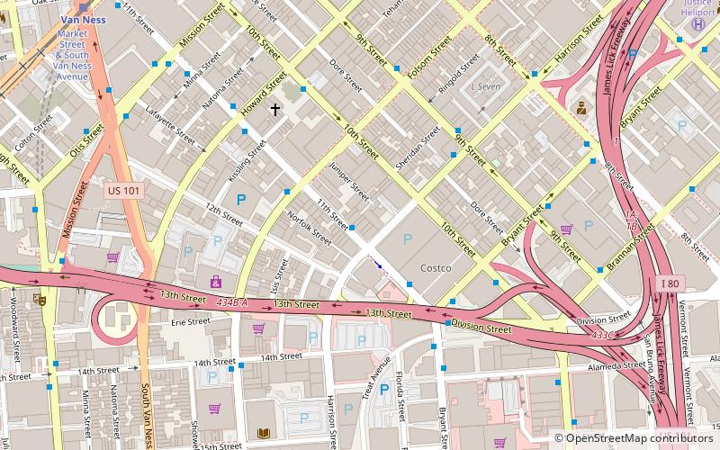
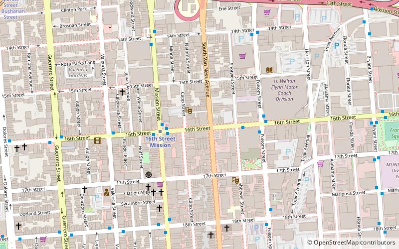
Map
Facts and practical information
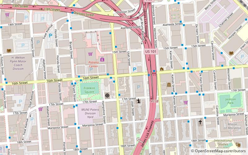
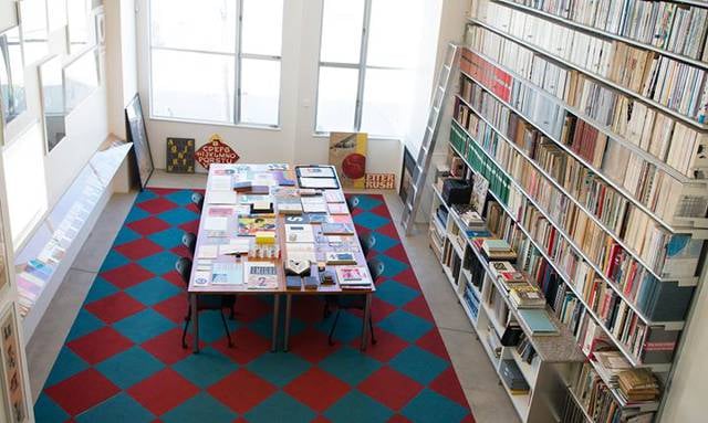
Established in 1991, the Catharine Clark Gallery presents the work of contemporary, living artists using a variety of media. The gallery is located in San Francisco’s Potrero Hill Neighborhood, at 248 Utah Street. The Catharine Clark Gallery is the only commercial gallery in San Francisco with an entire room dedicated to showcasing video projects. ()
Established: 1991 (35 years ago)Coordinates: 37°45'57"N, 122°24'25"W
Getting there by public transportation
Public transportation stops near this location
- Metro
- Bus
- Trolleybus
- Tram
- Light rail
- Train
 Metro
Metro
- Calculate routePotrero Avenue & 16th Street 2 min walk
- Calculate route16th Street & Potrero Avenue 2 min walk
- Calculate route16th Street & Potrero Avenue 2 min walk
- Calculate routePotrero Avenue & 17th Street 2 min walk
- Calculate route16th Street & San Bruno Avenue 3 min walk
- Calculate route16th Street Mission 18 min walk
- Calculate routeCivic Center 27 min walk
- Calculate routeMarket Street & South Van Ness Avenue 24 min walk
- Calculate routeVan Ness 24 min walk
- Calculate routeKing Street & 4th Street 25 min walk
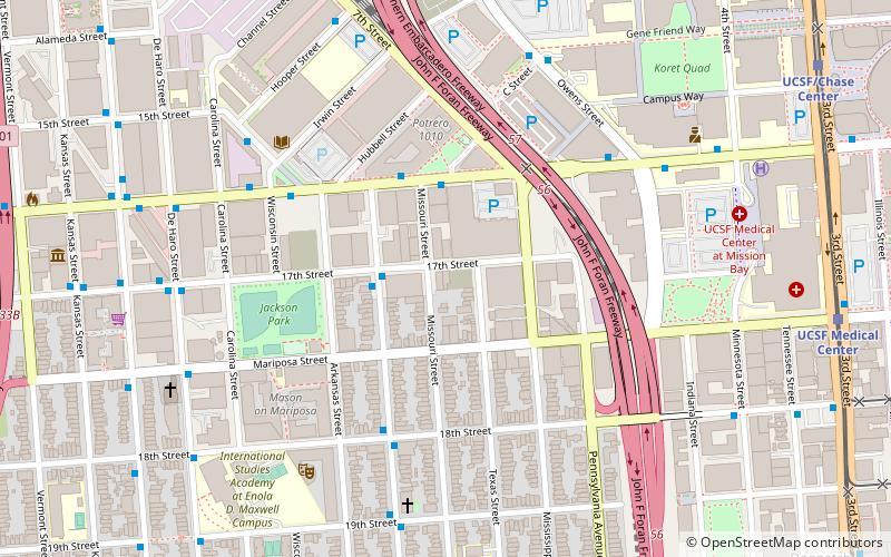
- Calculate routeUCSF/Chase Center 26 min walk
- Calculate routeUCSF Medical Center 26 min walk
- Calculate route22nd Street 26 min walk
- Calculate routeSan Francisco 4th & King Street 26 min walk
Maps Muni Metro
Muni MetroDay trips


Frequently Asked Questions (FAQ)
Which popular attractions are close to Catharine Clark Gallery?
Nearby attractions include San Francisco Center for the Book, San Francisco (7 min walk), Rescue Row, San Francisco (8 min walk), SOMArts Cultural Center, San Francisco (10 min walk), Wattis Institute for Contemporary Arts, San Francisco (11 min walk).
How to get to Catharine Clark Gallery by public transport?
The nearest stations to Catharine Clark Gallery:
Bus
Trolleybus
Metro
Tram
Light rail
Train
Bus
- Potrero Avenue & 16th Street • Lines: 292, 397, 9, 90, 9R, Fcx (2 min walk)
- 16th Street & Potrero Avenue • Lines: 55 (2 min walk)
Trolleybus
- 16th Street & Potrero Avenue • Lines: 22, 33 (2 min walk)
- Potrero Avenue & 17th Street • Lines: 33 (2 min walk)
Metro
- 16th Street Mission • Lines: Blue, Green, Red, Yellow (18 min walk)
- Civic Center • Lines: Blue, Green, Red, Yellow (27 min walk)
Tram
- Market Street & South Van Ness Avenue • Lines: F (24 min walk)
Light rail
- Van Ness • Lines: K, N, S, T (24 min walk)
- King Street & 4th Street • Lines: N, S (25 min walk)
Train
- 22nd Street (26 min walk)
- San Francisco 4th & King Street (26 min walk)