Slim's, San Francisco

Facts and practical information
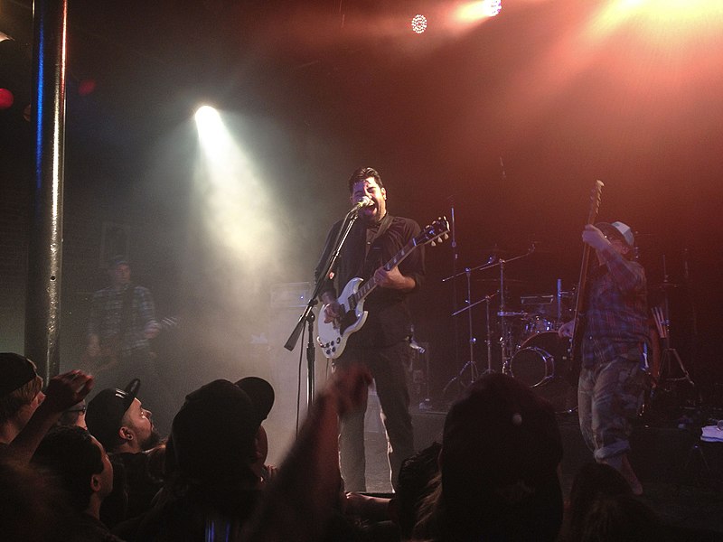
Slim's in San Francisco, United States, was a celebrated live music nightclub that served as a hub for diverse musical acts and lively performances. Established in 1988 by rock promoter Boz Scaggs and others, Slim's boasted a vibrant history and reputation as one of the city's quintessential venues for live music. The club was situated in the South of Market (SoMa) district, a neighborhood known for its cultural and nightlife scene.
With a capacity of approximately 500 people, Slim's was intimate enough to offer an up-close and personal experience with performers, yet large enough to attract a variety of acts, ranging from up-and-coming artists to established names in the music industry. The venue was designed to provide excellent acoustics and sightlines, ensuring that every concert-goer could enjoy the show, regardless of their position in the room.
Over the years, Slim's played host to a diverse array of musical genres, including rock, punk, metal, hip-hop, jazz, and blues, reflecting the eclectic taste of San Francisco's music aficionados. This diversity helped to establish the club as a staple in the San Francisco music scene, and a stepping stone for many artists who would later achieve greater fame.
The club also featured a balcony area which provided a more relaxed atmosphere for guests who preferred to enjoy the music away from the energy of the main floor. In addition to live performances, Slim's was known for its full bar service, offering a range of beverages to complement the night's entertainment.
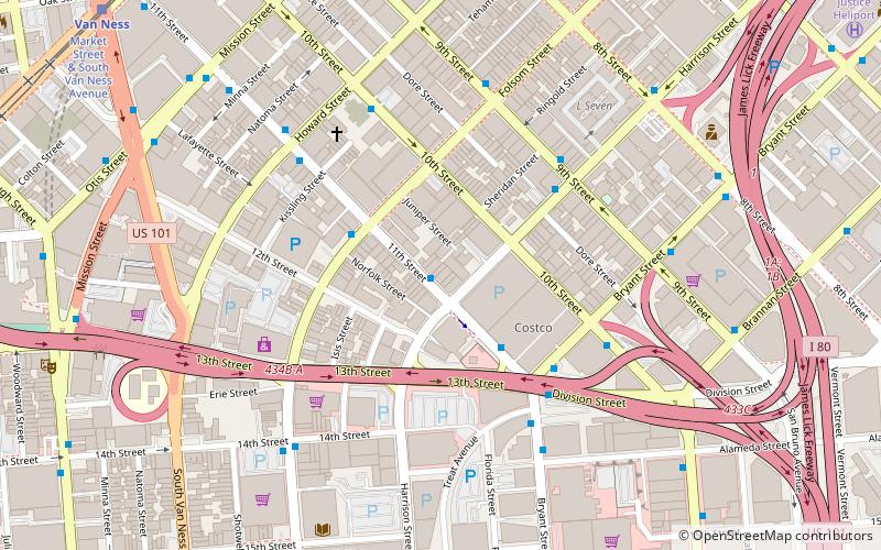
333 11th StreetSoutheast San Francisco (South of Market)San Francisco
- Metro
- Bus
- Trolleybus
- Tram
- Light rail
- Train
 Metro
Metro
- Calculate route11th Street & Harrison Street 1 min walk
- Calculate routeFolsom Street & 11th Street 2 min walk
- Calculate route11th Street & Bryant Street 4 min walk
- Calculate route10th Street & Howard Street 4 min walk
- Calculate routeMission Street & 11th Street 8 min walk
- Calculate routeOtis Street & 12th Street 9 min walk
- Calculate routeMarket Street & Van Ness Avenue 11 min walk
- Calculate routeVan Ness 11 min walk
- Calculate routeCivic Center 15 min walk
- Calculate routeChurch Street & Duboce Avenue 23 min walk
- Calculate routeDuboce Avenue & Church Street 23 min walk
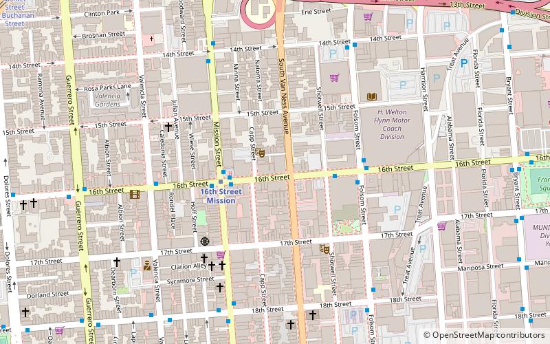
- Calculate route16th Street Mission 14 min walk
- Calculate routeCivic Center 15 min walk
- Calculate routeSan Francisco 4th & King Street 27 min walk
- Calculate route22nd Street 39 min walk
 Muni Metro


Frequently Asked Questions (FAQ)
Which popular attractions are close to Slim's?
How to get to Slim's by public transport?
Bus
- 11th Street & Harrison Street • Lines: 27, 9, 90, 9R (1 min walk)
- Folsom Street & 11th Street • Lines: 27 (2 min walk)
Trolleybus
- Mission Street & 11th Street • Lines: 14 (8 min walk)
- Otis Street & 12th Street • Lines: 14 (9 min walk)
Tram
- Market Street & Van Ness Avenue • Lines: F (11 min walk)
Light rail
- Van Ness • Lines: K, N, S, T (11 min walk)
- Civic Center • Lines: K, N, S, T (15 min walk)
Metro
- 16th Street Mission • Lines: Blue, Green, Red, Yellow (14 min walk)
- Civic Center • Lines: Blue, Green, Red, Yellow (15 min walk)
Train
- San Francisco 4th & King Street (27 min walk)
- 22nd Street (39 min walk)