River Des Peres Park, St. Louis
Map

Map

Facts and practical information
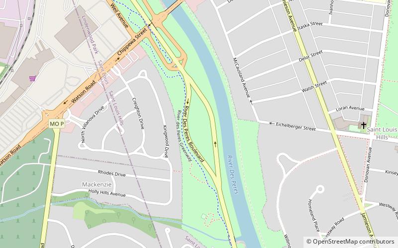
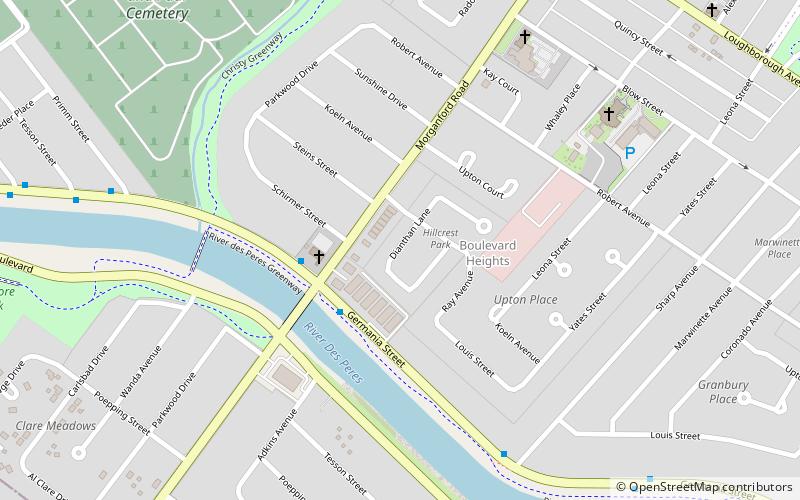
River Des Peres Park is a municipal park in St. Louis that opened in 1934. River Des Peres Park is located near River Des Peres and the St. Louis City/County border line. The parks borders are Lansdowne Avenue, Morganford Avenue, and River Des Peres Boulevard. It is located near the neighborhoods of St. Louis Hills, Lindenwood Park, and Princeton Heights. ()
Created: 1934Elevation: 430 ft a.s.l.Coordinates: 38°34'59"N, 90°18'43"W
Day trips
River Des Peres Park – popular in the area (distance from the attraction)
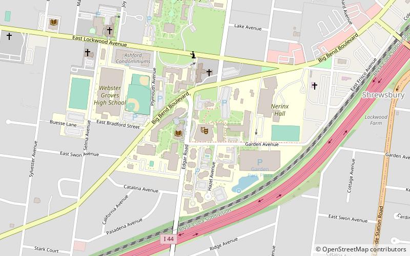
Nearby attractions include: Ulysses S. Grant National Historic Site, The Repertory Theatre, New Mount Sinai Cemetery, Carondelet Park.
Frequently Asked Questions (FAQ)
How to get to River Des Peres Park by public transport?
The nearest stations to River Des Peres Park:
Light rail
Light rail
- Shrewsbury-Lansdowne I-44 • Lines: Blue (21 min walk)


