Richmond National Cemetery, Richmond
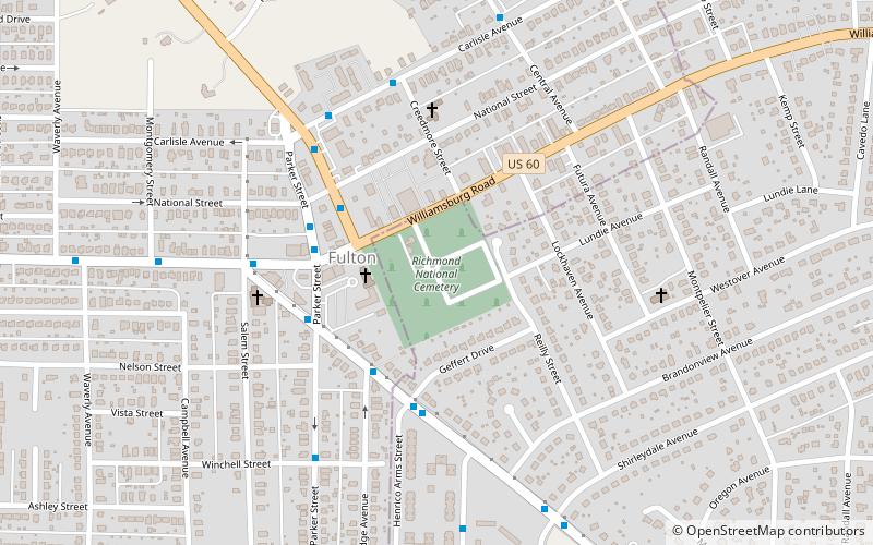
Map

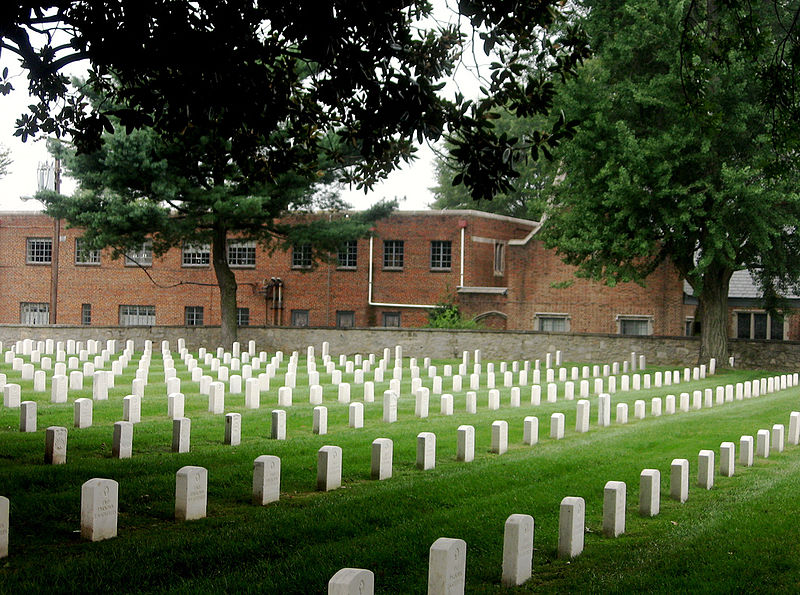
Gallery

Facts and practical information
Richmond National Cemetery is a United States National Cemetery three miles east of Richmond in Henrico County, Virginia. Administered by the United States Department of Veterans Affairs, it encompasses 9.7 acres, and as of 2021 had more than 11,000 interments. It is closed to new interments. Richmond National Cemetery was listed on the National Register of Historic Places in 1995. ()
Coordinates: 37°30'52"N, 77°23'34"W
Day trips
Richmond National Cemetery – popular in the area (distance from the attraction)
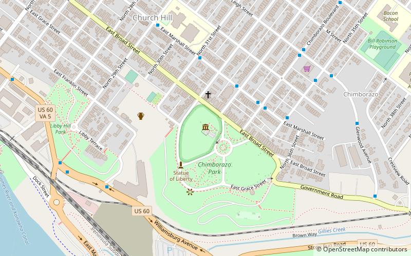
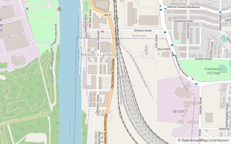
Nearby attractions include: Chimborazo Park, Clarke–Palmore House, Chimborazo Hospital, Rocketts Landing.
Frequently Asked Questions (FAQ)
How to get to Richmond National Cemetery by public transport?
The nearest stations to Richmond National Cemetery:
Bus
Bus
- Vinton & Henrico Arms • Lines: 4B (9 min walk)
- Darbytown & Buckner • Lines: 56 (19 min walk)


