Sauer's Gardens, Richmond

Map
Facts and practical information
Sauer's Garden is a neighborhood in the West End of Richmond, Virginia. The neighborhood began development in the 1920s, and now contains about 300 homes. ()
Coordinates: 37°30'55"N, 77°24'50"W
Address
Richmond
ContactAdd
Social media
Add
Day trips
Sauer's Gardens – popular in the area (distance from the attraction)
Nearby attractions include: Virginia Holocaust Museum, Edgar Allan Poe Museum, St. John's Episcopal Church, Norfolk Southern James River Bridge.
Frequently Asked Questions (FAQ)
Which popular attractions are close to Sauer's Gardens?
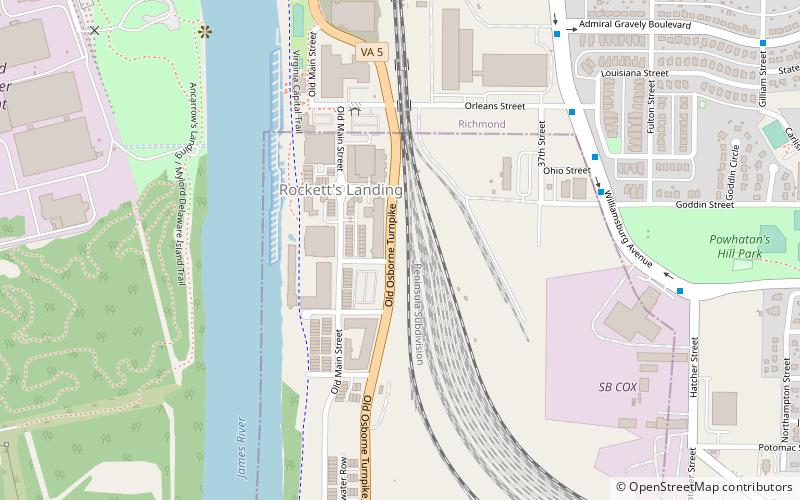
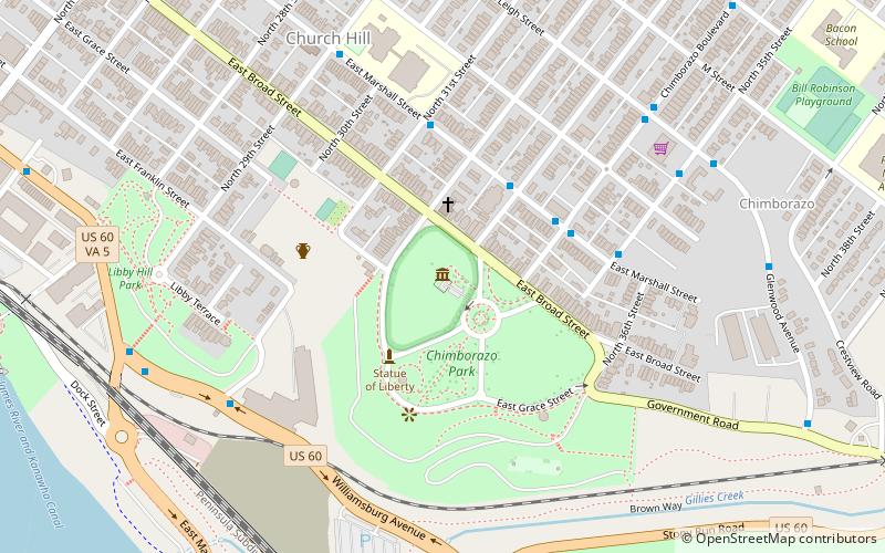
Nearby attractions include Shed Town, Richmond (1 min walk), Rocketts Landing, Richmond (3 min walk), Robert Fulton School, Richmond (14 min walk), Chimborazo Park, Richmond (19 min walk).
How to get to Sauer's Gardens by public transport?
The nearest stations to Sauer's Gardens:
Bus
Bus
- Vinton & Henrico Arms • Lines: 4B (32 min walk)


