Crowder Canyon, San Gorgonio Wilderness
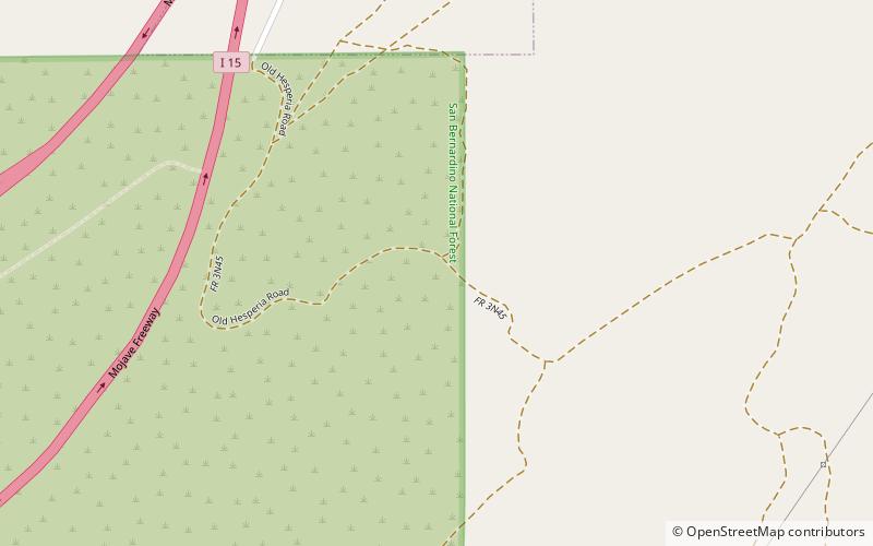
Map
Facts and practical information
Crowder Canyon, originally Coyote Canyon, is a valley in San Bernardino County, California. Its mouth was at an elevation of 2,999 feet / 914 meters at its confluence with Cajon Canyon. Its source was at an elevation of 4200 feet at 34°21′02″N 117°26′04″W near Cajon Summit. The canyon runs southward just west of the top of Cajon Pass then turns southwestward to meet Cajon Canyon. ()
Coordinates: 34°21'2"N, 117°26'2"W
Address
San Gorgonio Wilderness
ContactAdd
Social media
Add
Day trips
Crowder Canyon – popular in the area (distance from the attraction)
Nearby attractions include: Baldy Mesa, Cajon Pass, Horsethief Canyon, Summit Valley.
