Horsethief Canyon, San Gorgonio Wilderness
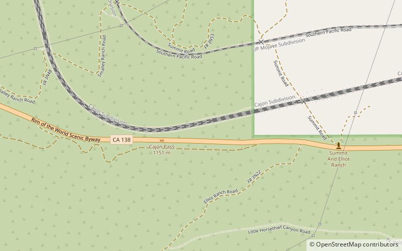
Map
Facts and practical information
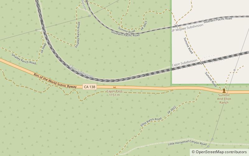
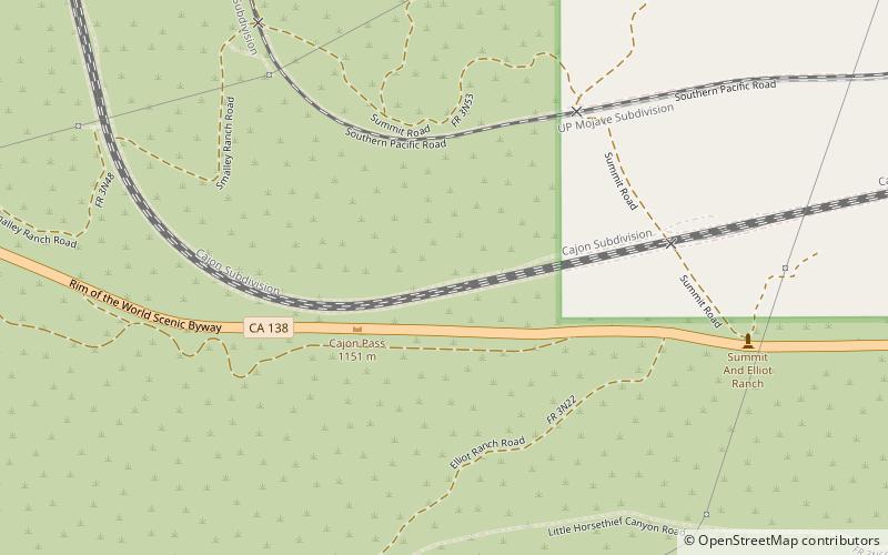
Horsethief Canyon, is a canyon comprising the upper part of the Summit Valley in San Bernardino County, California. Its head lies at 34°19′33″N 117°25′38″W at an elevation of 3,800 feet just east of the summit of Cajon Pass, and its mouth at an elevation of 3,123 feet / 952 meters. California State Routes 138 and 173 pass through it. ()
Coordinates: 34°19'33"N, 117°25'37"W
Address
San Gorgonio Wilderness
ContactAdd
Social media
Add
Day trips
Horsethief Canyon – popular in the area (distance from the attraction)
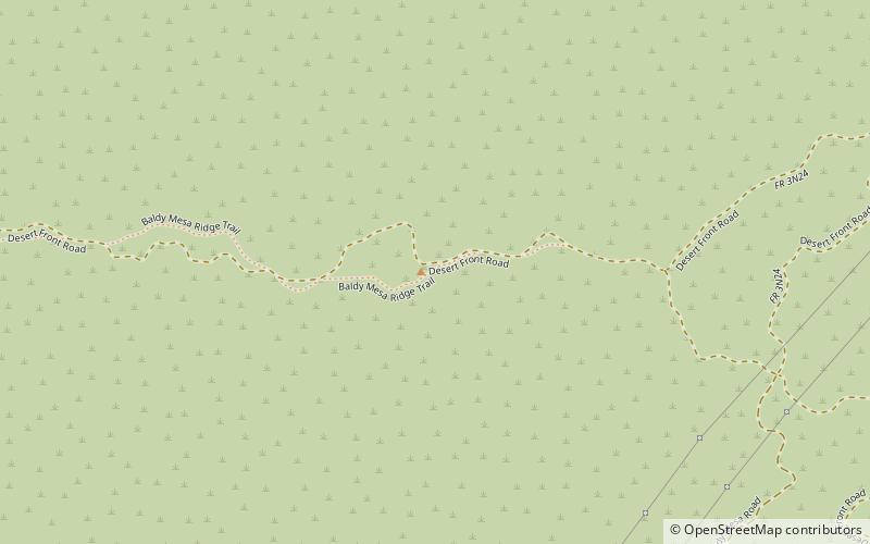
Nearby attractions include: Baldy Mesa, Crowder Canyon, Cajon Pass, Summit Valley.
Frequently Asked Questions (FAQ)
Which popular attractions are close to Horsethief Canyon?
Nearby attractions include Summit Valley, San Gorgonio Wilderness (1 min walk), Cajon Pass, San Gorgonio Wilderness (2 min walk).
