Shedd Park, Lowell
Map

Map

Facts and practical information
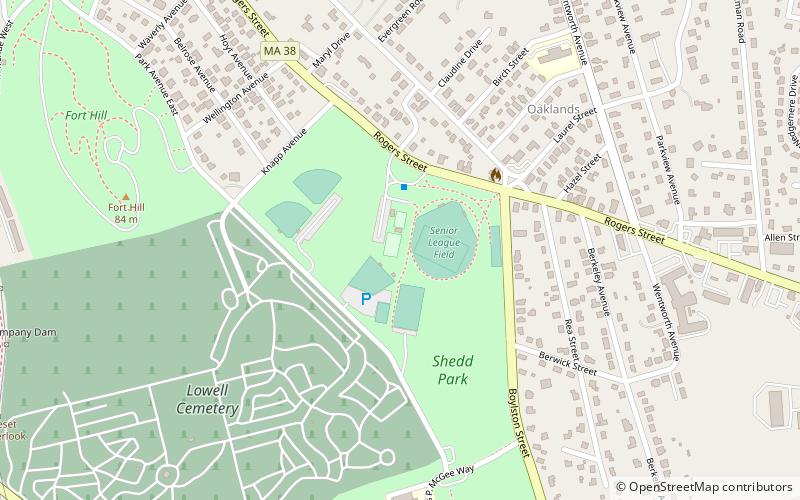
Shedd Park is a 50-acre public park in Lowell, Massachusetts. It is located off Rogers Street and flanked by Boylston Street and Knapp Avenue in the Belvidere section of the city. It includes multiple baseball fields, tennis/basketball courts, a pavilion, and a water park. In combination with Fort Hill and the Lowell Cemetery, Shedd Park is one of the largest urban green spaces in the Greater Lowell area. ()
Created: 1910Elevation: 144 ft a.s.l.Coordinates: 42°37'52"N, 71°17'20"W
Address
Rogers St.Lowell (Lower Belvidere)Lowell 01852
ContactAdd
Social media
Add
Day trips
Shedd Park – popular in the area (distance from the attraction)
Nearby attractions include: New England Quilt Museum, Boott Mills, Lowell National Historical Park, Cawley Memorial Stadium.
Frequently Asked Questions (FAQ)
Which popular attractions are close to Shedd Park?
Nearby attractions include Lowell Cemetery, Lowell (7 min walk), Rogers Fort Hill Park Historic District, Lowell (12 min walk), Belvidere Hill Historic District, Lowell (14 min walk), Wamesit Canal-Whipple Mill Industrial Complex, Lowell (16 min walk).
How to get to Shedd Park by public transport?
The nearest stations to Shedd Park:
Bus
Tram
Bus
- Riverside School • Lines: 3 (13 min walk)
- Father Norton Manor • Lines: 9 (27 min walk)
Tram
- Lower Locks • Lines: Lowell National Park Trolley (34 min walk)
- Boott Mills • Lines: Lowell National Park Trolley (38 min walk)


