Cottonwood Pass, San Isabel National Forest
Map

Map

Facts and practical information
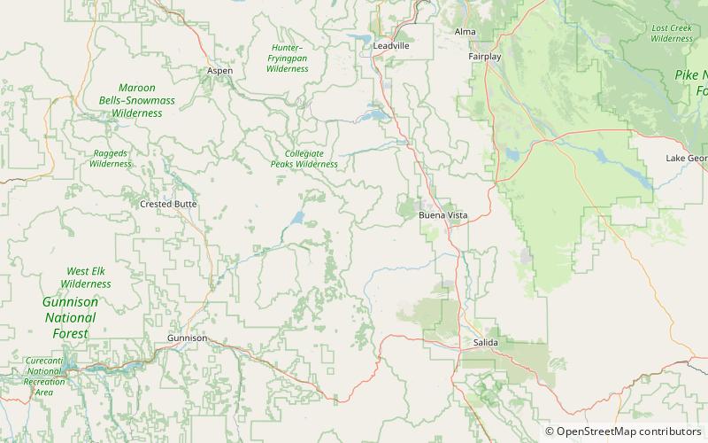
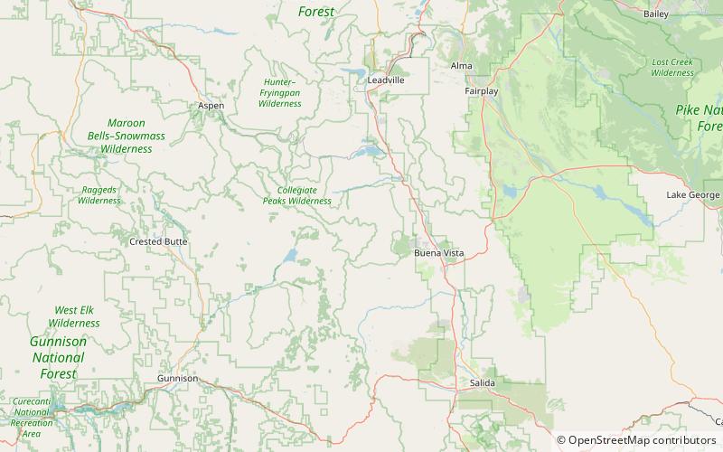
Cottonwood Pass is a high mountain pass in south-central Colorado in the Rocky Mountains of the western United States. It is located along the border of Gunnison and Chaffee counties in Colorado and is in the Sawatch Range. The area surrounding the pass is mostly forest, with the San Isabel National Forest to the east and the Gunnison National Forest to the west. ()
Maximum elevation: 12119 ftCoordinates: 38°49'40"N, 106°24'32"W
Address
San Isabel National Forest
ContactAdd
Social media
Add
Day trips
Cottonwood Pass – popular in the area (distance from the attraction)
Nearby attractions include: Mount Yale, Peak 13.


