Commonwealth Avenue Mall, Boston
Map
Gallery
Facts and practical information
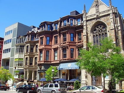
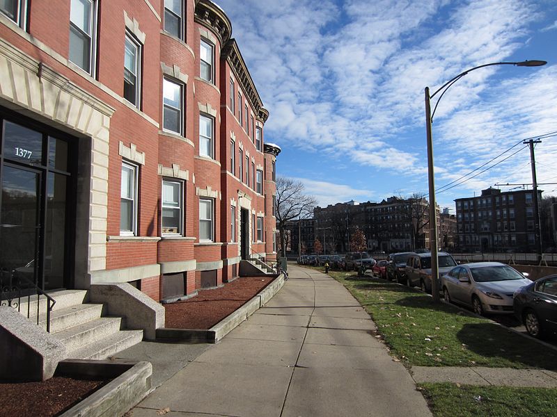
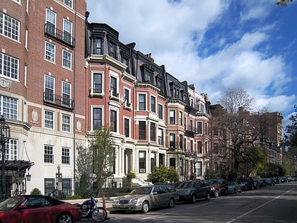
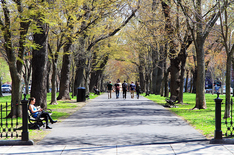
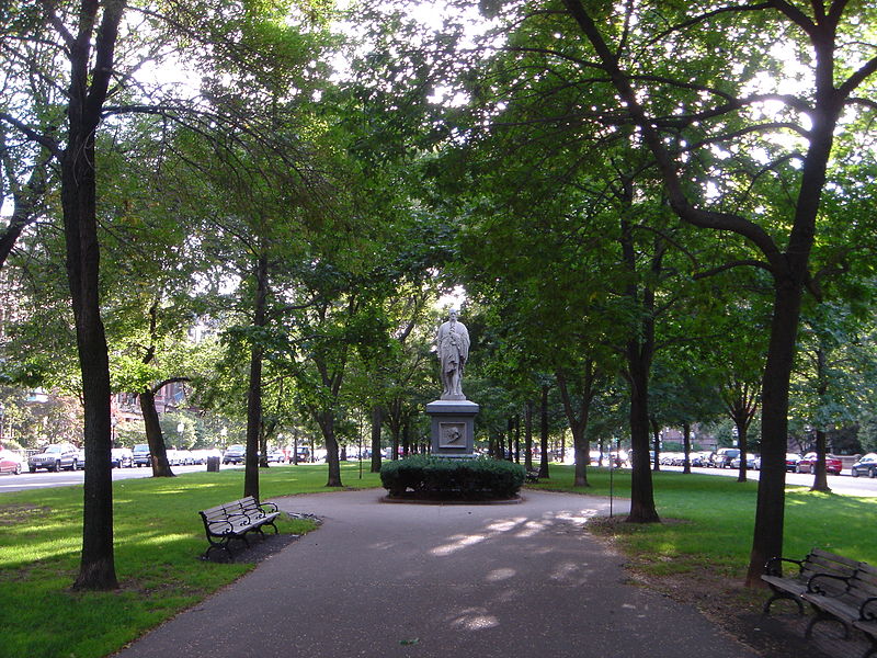
Commonwealth Avenue is a major street in the cities of Boston and Newton, Massachusetts. It begins at the western edge of the Boston Public Garden, and continues west through the neighborhoods of the Back Bay, Kenmore Square, Boston University, Allston, Brighton and Chestnut Hill. It continues as part of Route 30 through Newton until it crosses the Charles River at the border of the town of Weston. ()
Address
Commonwealth Ave.Back BayBoston 02116
ContactAdd
Social media
Add
Day trips
Commonwealth Avenue Mall – popular in the area (distance from the attraction)
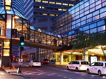
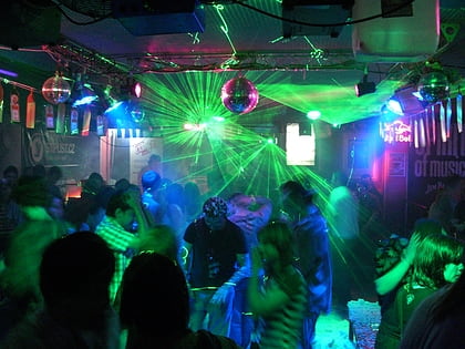
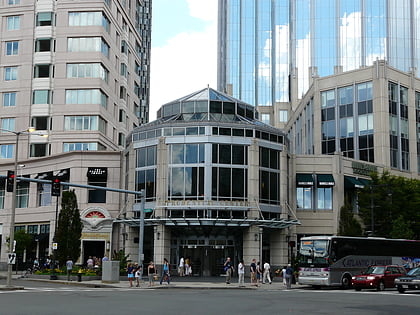
Nearby attractions include: Newbury Street, Copley Place, Club Café, Skywalk Observatory.
Frequently Asked Questions (FAQ)
Which popular attractions are close to Commonwealth Avenue Mall?
Nearby attractions include Hotel Vendome Fire Memorial, Boston (1 min walk), Exeter Street Theatre, Boston (2 min walk), Nielsen Gallery, Boston (2 min walk), First Baptist Church, Boston (3 min walk).
How to get to Commonwealth Avenue Mall by public transport?
The nearest stations to Commonwealth Avenue Mall:
Light rail
Bus
Metro
Train
Light rail
- Copley • Lines: B, C, D, E (4 min walk)
- Arlington • Lines: B, C, D, E (10 min walk)
Bus
- Saint James Ave @ Dartmouth St • Lines: 10, 39, 502, 504, 55, 9 (5 min walk)
- Ring Rd @ Boylston St • Lines: 9 (6 min walk)
Metro
- Back Bay • Lines: Orange (9 min walk)
- Charles/MGH • Lines: Red (19 min walk)
Train
- Boston Back Bay (10 min walk)
- Lansdowne (29 min walk)


 MBTA Subway