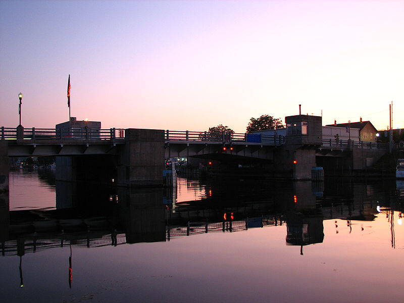
Cheboygan Bascule Bridge, Cheboygan

Gallery (2)
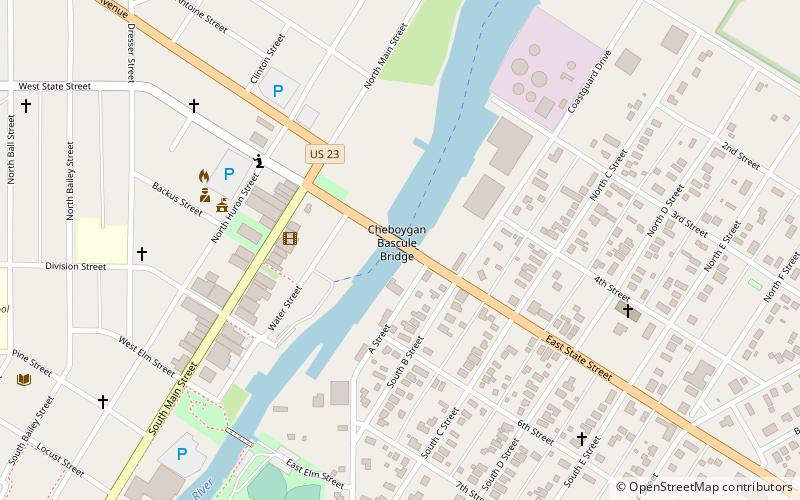
Map
Map
Gallery
Facts and practical information
The Cheboygan Bascule Bridge, also known as the State Street Bridge, is a double-leaf bascule bridge in Cheboygan, Michigan, carrying U.S. Highway 23 across the Cheboygan River. Built in 1940, it was the last bascule bridge constructed in the state of Michigan prior to the end of World War II. It replaced an aging swing bridge built in 1877. The bridge is listed on the National Register of Historic Places. ()
Opened: 1940 (86 years ago)Length: 155 ftWidth: 52 ftCoordinates: 45°38'45"N, 84°28'22"W
Address
Cheboygan
ContactAdd
Social media
Add
Day trips


Frequently Asked Questions (FAQ)
Which popular attractions are close to Cheboygan Bascule Bridge?
Nearby attractions include Opera House, Cheboygan (5 min walk), Old Cheboygan County Courthouse, Cheboygan (18 min walk).