St. Peter Church, Cleveland
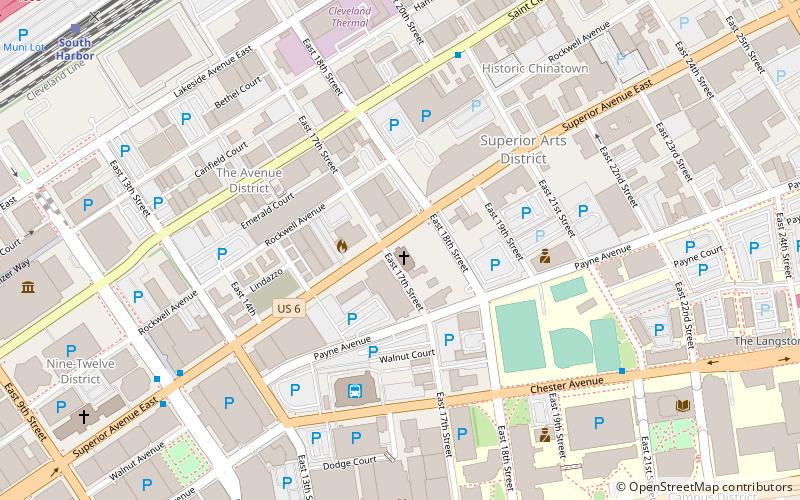
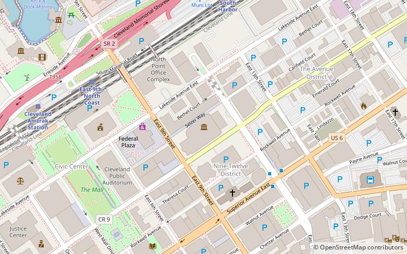
Map
Facts and practical information
Coordinates: 41°30'21"N, 81°40'53"W
Address
1533 E 17th StDowntown Cleveland (Playhouse Square)Cleveland 44114
Contact
+1 216-344-2999
Social media
Add
Day trips
St. Peter Church – popular in the area (distance from the attraction)
Nearby attractions include: Galleria at Erieview, Hanna Theatre, Playhouse Square, Cleveland Hungarian Museum.
Frequently Asked Questions (FAQ)
Which popular attractions are close to St. Peter Church?
Nearby attractions include Bohn Towers, Cleveland (6 min walk), Asiatown, Cleveland (6 min walk), 14th Street Theatre, Cleveland (7 min walk), Ohio Theatre, Cleveland (8 min walk).
How to get to St. Peter Church by public transport?
The nearest stations to St. Peter Church:
Bus
Light rail
Train
Metro
Bus
- Cleveland Greyhound Station (5 min walk)
- East 14th Street (9 min walk)
Light rail
- South Harbor • Lines: 67Ax, 67AX Blue, Blue, Green (12 min walk)
- East 9th–North Coast • Lines: 67Ax, 67AX Blue, Blue, Green (17 min walk)
Train
- Cleveland (20 min walk)
Metro
- Tower City • Lines: Red (23 min walk)
